Lombard night lights from space
Night Light of Lombard (Illinois) from space (United States) Src. Average luminocity for 10x10km area is 94.5921% and for 50x50km: 88.9535%.
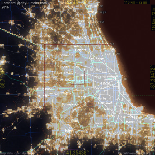
Analysis of Lombard night lights 2016
Square area 10x10 km:
 36.83%
90-99
40.95%80-89
14.76%70-79
7.46%60-69
0%50-59
0%40-49
0%30-39
0%20-29
0%10-19
0%0-9
0%Square area 50x50 km:
37.31%90-99
24.61%80-89
14.17%70-79
10.94%60-69
7.64%50-59
3.73%40-49
1.12%30-39
0.33%20-29
0.15%10-19
0%0-9
0%Clear (daylight) street map image can be seen on geolist.org.
Map coordinates:
42° 24' 5" North, 88° 42' 39.5" West
41° 52' 48.1" North, 88° 0' 28.2" West
41° 21' 15.8" North, 87° 18' 17" West
Some cities around Lombard sort by population:
• Wheaton
8.4 km =5.2 mi,  259°
259°
• Downers Grove
7.9 km =4.9 mi,  181°
181°
• Elmhurst
6 km =3.7 mi,  68°
68°
• Addison
6 km =3.7 mi,  15°
15°
• Glendale Heights
6.1 km =3.8 mi,  309°
309°
• Glen Ellyn
4.9 km =3 mi,  266°
266°
• Villa Park
1.9 km =1.2 mi,  55°
55°
• Oak Brook
8.4 km =5.2 mi,  128°
128°
4900373 (p: 43,797)
Sources (retrieved 2019-11-25):
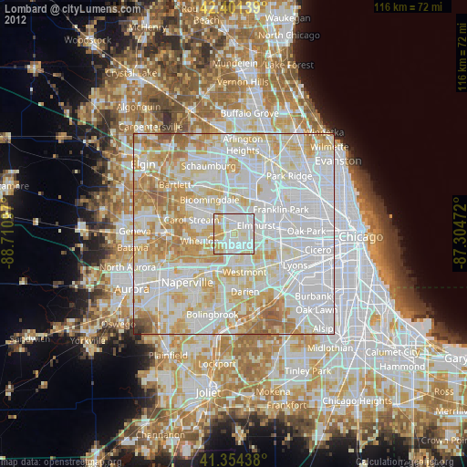
» Earth at Night: Flat Maps 2012, 2016