Broadview Park night lights from space
Night Light of Broadview Park (Florida) from space (United States) Src. Average luminocity for 10x10km area is 98.6111% and for 50x50km: 59.1488%.
Analysis of Broadview Park night lights 2016
Square area 10x10 km:
 61.11%
90-99
36.11%80-89
2.78%70-79
0%60-69
0%50-59
0%40-49
0%30-39
0%20-29
0%10-19
0%0-9
0%Square area 50x50 km:
31.81%90-99
13.71%80-89
3.08%70-79
2.86%60-69
3.99%50-59
3.31%40-49
3.73%30-39
4.01%20-29
3.28%10-19
4.95%0-9
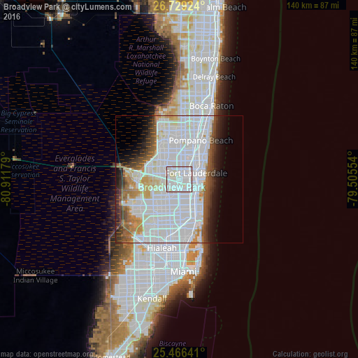
25.26%Clear (daylight) street map image can be seen on geolist.org.
Map coordinates:
26° 43' 45.3" North, 80° 54' 42.4" West
26° 5' 58.3" North, 80° 12' 31.2" West
25° 27' 59.1" North, 79° 30' 19.9" West
Some cities around Broadview Park sort by population:
• Fort Lauderdale
7 km =4.3 mi,  68°
68°
• Davie
4.8 km =3 mi,  210°
210°
• Plantation
4.5 km =2.8 mi,  329°
329°
• Lauderhill
4.6 km =2.9 mi,  354°
354°
• Cooper City
7.9 km =4.9 mi,  233°
233°
• Lauderdale Lakes
7.4 km =4.6 mi,  0°
0°
• Melrose Park
2.2 km =1.4 mi,  44°
44°
• Pine Island Ridge
6.5 km =4 mi,  265°
265°
4148944 (p: 7,125)
Sources (retrieved 2019-11-25):
» Earth at Night: Flat Maps 2012, 2016