Westminster night lights from space
Night Light of Westminster (California) from space (United States) Src. Average luminocity for 10x10km area is 94.4103% and for 50x50km: 67.0971%.
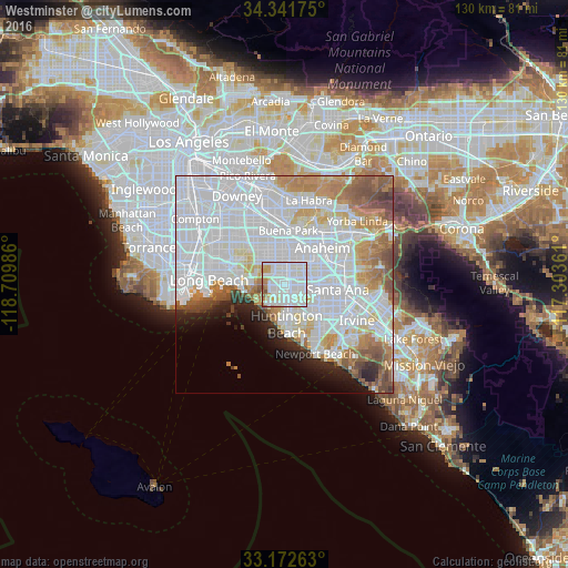

Analysis of Westminster night lights 2016
Square area 10x10 km:
 40.29%
90-99
44.14%80-89
4.21%70-79
5.13%60-69
4.58%50-59
1.1%40-49
0.55%30-39
0%20-29
0%10-19
0%0-9
0%Square area 50x50 km:
32%90-99
17.4%80-89
4.65%70-79
5.71%60-69
6.64%50-59
4.35%40-49
3.04%30-39
1.43%20-29
2.91%10-19
3.56%0-9
18.31%Clear (daylight) street map image can be seen on geolist.org.
Map coordinates:
34° 20' 30.3" North, 118° 42' 35.5" West
33° 45' 33" North, 118° 0' 24.2" West
33° 10' 21.5" North, 117° 18' 13" West
Some cities around Westminster sort by population:
• Garden Grove
6.3 km =3.9 mi,  74°
74°
• Fountain Valley
7.4 km =4.6 mi,  138°
138°
• Cypress
7 km =4.3 mi,  336°
336°
• Stanton
5 km =3.1 mi,  14°
14°
• Seal Beach
9.3 km =5.8 mi,  257°
257°
• Los Alamitos
7.8 km =4.8 mi,  308°
308°
• Rossmoor
7.8 km =4.8 mi,  292°
292°
• Midway City
2.3 km =1.4 mi,  134°
134°
5408406 (p: 92,114)
Sources (retrieved 2019-11-25):
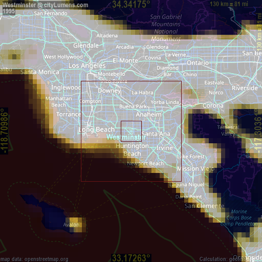
» NASA, Earths city lights 1995
» NASA city lights 2003
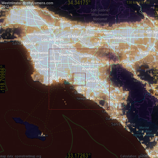
» Earth at Night: Flat Maps 2012, 2016