Los Alamitos night lights from space
Night Light of Los Alamitos (California) from space (United States) Src. Average luminocity for 10x10km area is 92.7063% and for 50x50km: 75.039%.
Analysis of Los Alamitos night lights 2016
Square area 10x10 km:
 33.57%
90-99
36.01%80-89
17.83%70-79
7.69%60-69
4.9%50-59
0%40-49
0%30-39
0%20-29
0%10-19
0%0-9
0%Square area 50x50 km:
41.65%90-99
19.24%80-89
4.75%70-79
5.7%60-69
4.46%50-59
2.23%40-49
1.32%30-39
1.03%20-29
2.77%10-19
3.19%0-9
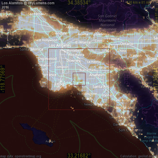
13.67%Clear (daylight) street map image can be seen on geolist.org.
Map coordinates:
34° 23' 7.2" North, 118° 46' 32.5" West
33° 48' 11.1" North, 118° 4' 21.2" West
33° 13' 0.6" North, 117° 22' 10" West
Some cities around Los Alamitos sort by population:
• Cerritos
6.2 km =3.9 mi,  6°
6°
• Cypress
3.6 km =2.2 mi,  64°
64°
• Stanton
7.3 km =4.5 mi,  90°
90°
• Seal Beach
7.5 km =4.7 mi,  203°
203°
• Artesia
7 km =4.3 mi,  352°
352°
• La Palma
5.4 km =3.4 mi,  26°
26°
• Hawaiian Gardens
3.2 km =2 mi,  359°
359°
• Rossmoor
2.3 km =1.4 mi,  210°
210°
5368304 (p: 11,449)
Sources (retrieved 2019-11-25):
» Earth at Night: Flat Maps 2012, 2016