Cypress night lights from space
Night Light of Cypress (California) from space (United States) Src. Average luminocity for 10x10km area is 96.6294% and for 50x50km: 78.3275%.
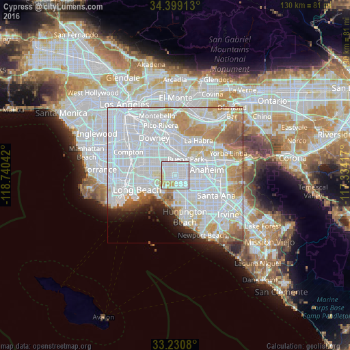
Analysis of Cypress night lights 2016
Square area 10x10 km:
 50.87%
90-99
37.24%80-89
6.99%70-79
4.9%60-69
0%50-59
0%40-49
0%30-39
0%20-29
0%10-19
0%0-9
0%Square area 50x50 km:
41.13%90-99
20.21%80-89
5.65%70-79
7.06%60-69
5.94%50-59
2.74%40-49
1.56%30-39
0.98%20-29
2.25%10-19
2.63%0-9
9.85%Clear (daylight) street map image can be seen on geolist.org.
Map coordinates:
34° 23' 56.9" North, 118° 44' 25.5" West
33° 49' 1.1" North, 118° 2' 14.2" West
33° 13' 50.9" North, 117° 20' 3" West
Some cities around Cypress sort by population:
• Buena Park
6.7 km =4.2 mi,  32°
32°
• Cerritos
5.3 km =3.3 mi,  331°
331°
• Stanton
4.4 km =2.7 mi,  111°
111°
• Artesia
6.9 km =4.3 mi,  322°
322°
• La Palma
3.4 km =2.1 mi,  345°
345°
• Hawaiian Gardens
3.7 km =2.3 mi,  296°
296°
• Los Alamitos
3.6 km =2.2 mi,  244°
244°
• Rossmoor
5.6 km =3.5 mi,  231°
231°
5341256 (p: 49,290)
Sources (retrieved 2019-11-25):
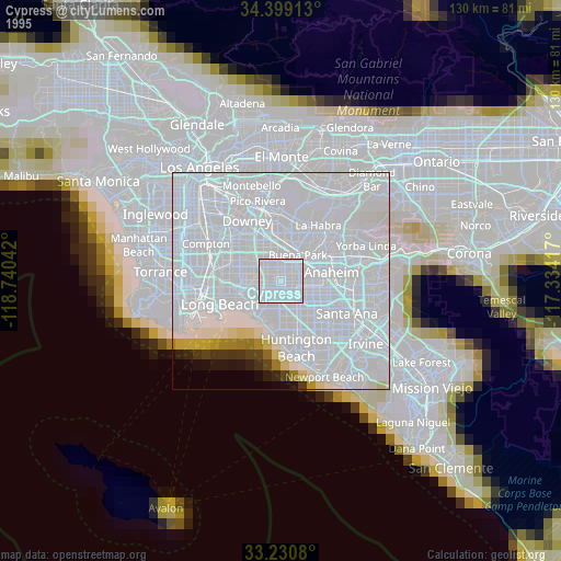
» NASA, Earths city lights 1995
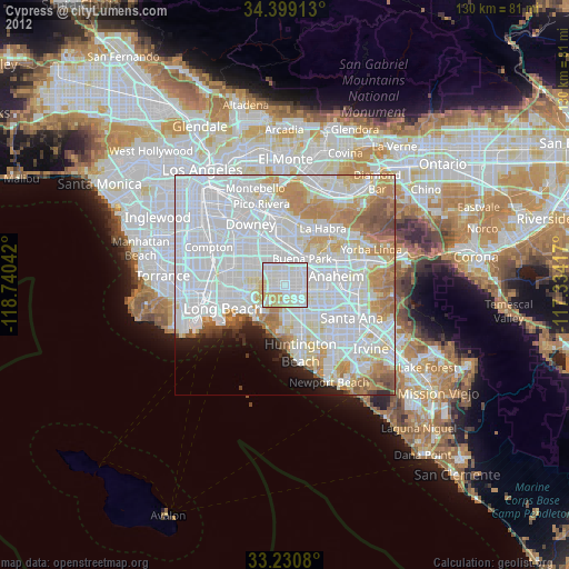
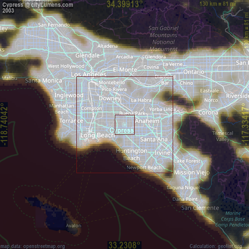
» NASA city lights 2003
» Earth at Night: Flat Maps 2012, 2016