Garden Grove night lights from space
Night Light of Garden Grove (California) from space (United States) Src. Average luminocity for 10x10km area is 98.8352% and for 50x50km: 69.4965%.
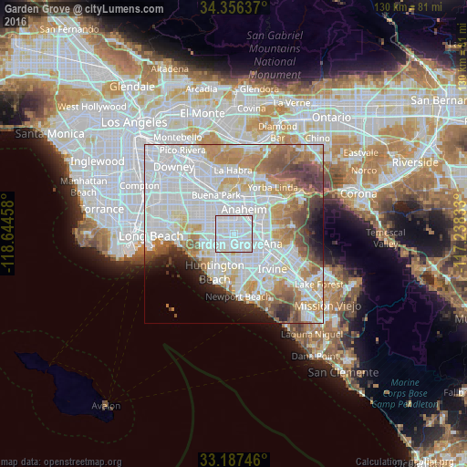
Analysis of Garden Grove night lights 2016
Square area 10x10 km:
 57.88%
90-99
41.39%80-89
0.73%70-79
0%60-69
0%50-59
0%40-49
0%30-39
0%20-29
0%10-19
0%0-9
0%Square area 50x50 km:
28.88%90-99
18.71%80-89
5.5%70-79
7.27%60-69
7.85%50-59
5.07%40-49
4.41%30-39
2.76%20-29
3.43%10-19
3.75%0-9
12.37%Clear (daylight) street map image can be seen on geolist.org.
Map coordinates:
34° 21' 22.9" North, 118° 38' 40.5" West
33° 46' 26.1" North, 117° 56' 29.2" West
33° 11' 14.9" North, 117° 14' 18" West
Some cities around Garden Grove sort by population:
• Anaheim
7.3 km =4.5 mi,  20°
20°
• Santa Ana
7.5 km =4.7 mi,  114°
114°
• Orange
8.3 km =5.2 mi,  79°
79°
• Westminster
6.3 km =3.9 mi,  254°
254°
• Fountain Valley
7.3 km =4.5 mi,  188°
188°
• Cypress
10.1 km =6.3 mi,  298°
298°
• Stanton
5.7 km =3.5 mi, 303°
• Midway City
5.5 km =3.4 mi,  233°
233°
5351515 (p: 175,393)
Sources (retrieved 2019-11-25):
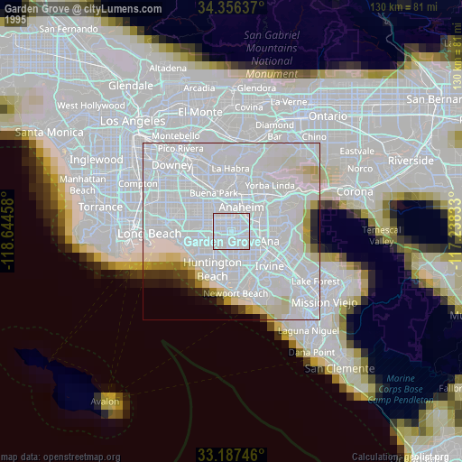
» NASA, Earths city lights 1995
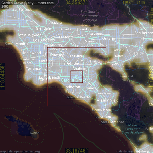
» NASA city lights 2003
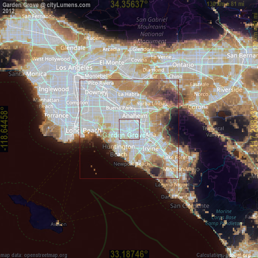
» Earth at Night: Flat Maps 2012, 2016