Fountain Valley night lights from space
Night Light of Fountain Valley (California) from space (United States) Src. Average luminocity for 10x10km area is 96.1136% and for 50x50km: 59.0897%.
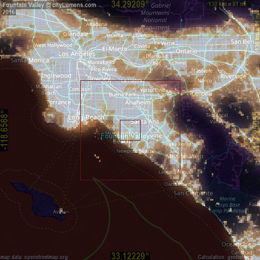
Analysis of Fountain Valley night lights 2016
Square area 10x10 km:
 40.48%
90-99
42.86%80-89
14.47%70-79
2.2%60-69
0%50-59
0%40-49
0%30-39
0%20-29
0%10-19
0%0-9
0%Square area 50x50 km:
25%90-99
15.87%80-89
4.91%70-79
5.12%60-69
6.1%50-59
4.18%40-49
4.14%30-39
2.59%20-29
3.39%10-19
4.34%0-9
24.35%Clear (daylight) street map image can be seen on geolist.org.
Map coordinates:
34° 17' 31.5" North, 118° 39' 24.5" West
33° 42' 33" North, 117° 57' 13.2" West
33° 7' 20.2" North, 117° 15' 2" West
Some cities around Fountain Valley sort by population:
• Santa Ana
8.9 km =5.5 mi,  62°
62°
• Huntington Beach
6.9 km =4.3 mi,  217°
217°
• Garden Grove
7.3 km =4.5 mi,  8°
8°
• Costa Mesa
8.2 km =5.1 mi,  156°
156°
• Westminster
7.4 km =4.6 mi,  318°
318°
• Newport Beach
10.3 km =6.4 mi,  167°
167°
• Stanton
11 km =6.8 mi,  340°
340°
• Midway City
5.1 km =3.2 mi, 320°
5350207 (p: 56,987)
Sources (retrieved 2019-11-25):
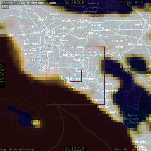
» NASA, Earths city lights 1995
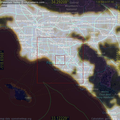
» NASA city lights 2003
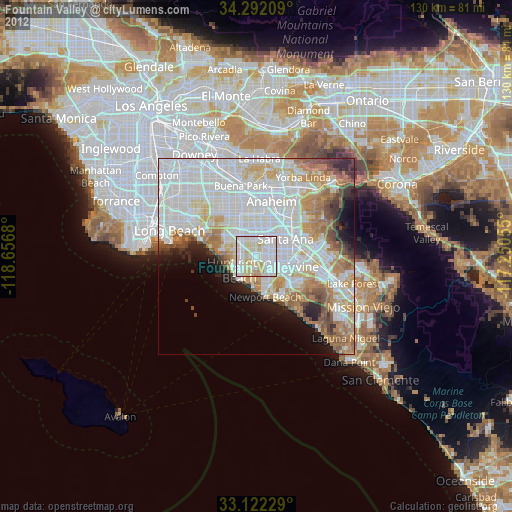
» Earth at Night: Flat Maps 2012, 2016