Rossmoor night lights from space
Night Light of Rossmoor (California) from space (United States) Src. Average luminocity for 10x10km area is 87.13% and for 50x50km: 70.7692%.
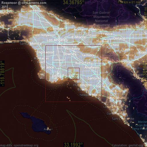
Analysis of Rossmoor night lights 2016
Square area 10x10 km:
 26.19%
90-99
28.75%80-89
18.68%70-79
9.16%60-69
10.62%50-59
3.85%40-49
2.2%30-39
0.55%20-29
0%10-19
0%0-9
0%Square area 50x50 km:
39.62%90-99
18.22%80-89
4.21%70-79
4.91%60-69
4.06%50-59
2.1%40-49
1.3%30-39
1%20-29
2.85%10-19
3.85%0-9
17.89%Clear (daylight) street map image can be seen on geolist.org.
Map coordinates:
34° 22' 4.6" North, 118° 47' 17.5" West
33° 47' 8.1" North, 118° 5' 6.2" West
33° 11' 57.1" North, 117° 22' 55" West
Some cities around Rossmoor sort by population:
• Westminster
7.8 km =4.8 mi,  112°
112°
• Cerritos
8.3 km =5.2 mi,  13°
13°
• Cypress
5.6 km =3.5 mi,  51°
51°
• Seal Beach
5.2 km =3.2 mi,  200°
200°
• La Palma
7.6 km =4.7 mi,  27°
27°
• Hawaiian Gardens
5.2 km =3.2 mi, 12°
• Signal Hill
7.9 km =4.9 mi,  285°
285°
• Los Alamitos
2.3 km =1.4 mi, 30°
5388953 (p: 10,244)
Sources (retrieved 2019-11-25):
» Earth at Night: Flat Maps 2012, 2016