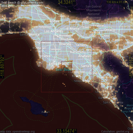
Seal Beach night lights from space
Night Light of Seal Beach (California) from space (United States) Src. Average luminocity for 10x10km area is 60.4963% and for 50x50km: 61.2531%.
Analysis of Seal Beach night lights 2016
Square area 10x10 km:
 12.45%
90-99
14.1%80-89
3.48%70-79
6.59%60-69
16.3%50-59
9.34%40-49
7.88%30-39
6.23%20-29
16.12%10-19
7.51%0-9
0%Square area 50x50 km:
34.87%90-99
15.96%80-89
3.3%70-79
3.17%60-69
3.52%50-59
1.69%40-49
1.26%30-39
0.97%20-29
2.94%10-19
4.06%0-9
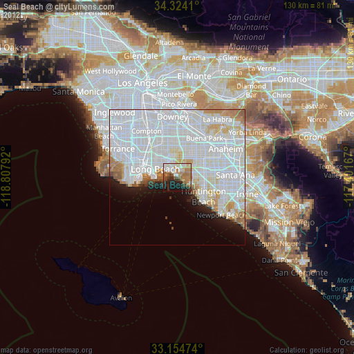
28.26%Clear (daylight) street map image can be seen on geolist.org.
Map coordinates:
34° 19' 26.8" North, 118° 48' 28.5" West
33° 44' 29.1" North, 118° 6' 17.2" West
33° 9' 17.1" North, 117° 24' 6" West
Some cities around Seal Beach sort by population:
• Long Beach
8.3 km =5.2 mi,  289°
289°
• Westminster
9.3 km =5.8 mi,  77°
77°
• Cypress
10.5 km =6.5 mi,  36°
36°
• Hawaiian Gardens
10.4 km =6.5 mi,  16°
16°
• Signal Hill
9.1 km =5.7 mi,  320°
320°
• Los Alamitos
7.5 km =4.7 mi, 23°
• Rossmoor
5.2 km =3.2 mi, 20°
• Midway City
10.7 km =6.6 mi,  88°
88°
5394086 (p: 24,619)
Sources (retrieved 2019-11-25):
» Earth at Night: Flat Maps 2012, 2016