Westfield night lights from space
Night Light of Westfield (New Jersey) from space (United States) Src. Average luminocity for 10x10km area is 82.5032% and for 50x50km: 73.8638%.
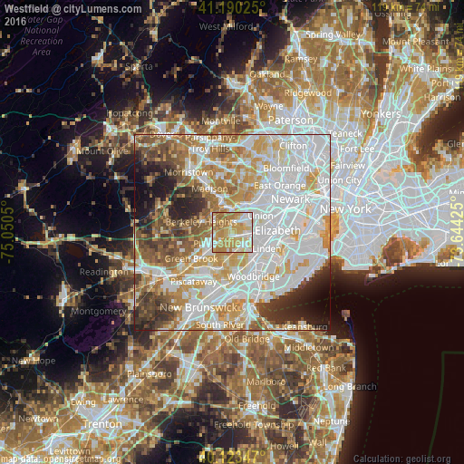
Analysis of Westfield night lights 2016
Square area 10x10 km:
 16.23%
90-99
16.72%80-89
21.75%70-79
25.97%60-69
18.51%50-59
0.81%40-49
0%30-39
0%20-29
0%10-19
0%0-9
0%Square area 50x50 km:
26.59%90-99
17.66%80-89
8.4%70-79
10.9%60-69
8.63%50-59
6.19%40-49
5.03%30-39
4.79%20-29
5.3%10-19
4.68%0-9
1.85%Clear (daylight) street map image can be seen on geolist.org.
Map coordinates:
41° 11' 24.9" North, 75° 3' 1.8" West
40° 39' 32.4" North, 74° 20' 50.5" West
40° 7' 24.5" North, 73° 38' 39.3" West
Some cities around Westfield sort by population:
• Plainfield
5.8 km =3.6 mi,  240°
240°
• Scotch Plains
3.6 km =2.2 mi,  263°
263°
• Cranford
4 km =2.5 mi,  90°
90°
• Clark
3.7 km =2.3 mi,  122°
122°
• Springfield
5.7 km =3.5 mi,  26°
26°
• Kenilworth
5.2 km =3.2 mi,  67°
67°
• Fanwood
3.6 km =2.2 mi, 236°
• Mountainside
1.7 km =1.1 mi,  330°
330°
5106331 (p: 30,548)
Sources (retrieved 2019-11-25):
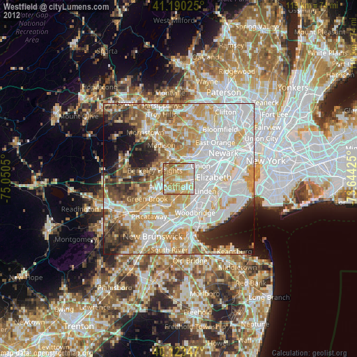
» Earth at Night: Flat Maps 2012, 2016