Scotch Plains night lights from space
Night Light of Scotch Plains (New Jersey) from space (United States) Src. Average luminocity for 10x10km area is 77.8149% and for 50x50km: 71.4881%.
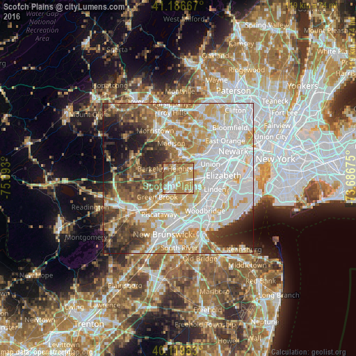
Analysis of Scotch Plains night lights 2016
Square area 10x10 km:
 10.88%
90-99
15.42%80-89
13.8%70-79
26.62%60-69
26.14%50-59
6.98%40-49
0.16%30-39
0%20-29
0%10-19
0%0-9
0%Square area 50x50 km:
23.96%90-99
16.54%80-89
8.54%70-79
10.86%60-69
8.82%50-59
6.72%40-49
5.75%30-39
5.36%20-29
6.1%10-19
5.54%0-9
1.81%Clear (daylight) street map image can be seen on geolist.org.
Map coordinates:
41° 11' 12" North, 75° 5' 34.8" West
40° 39' 19.4" North, 74° 23' 23.5" West
40° 7' 11.4" North, 73° 41' 12.3" West
Some cities around Scotch Plains sort by population:
• Plainfield
2.8 km =1.7 mi,  211°
211°
• Westfield
3.6 km =2.2 mi,  83°
83°
• North Plainfield
4.2 km =2.6 mi,  228°
228°
• Berkeley Heights
5.4 km =3.4 mi,  305°
305°
• New Providence
4.9 km =3 mi,  348°
348°
• Fanwood
1.7 km =1.1 mi,  161°
161°
• Mountainside
3.3 km =2.1 mi,  55°
55°
• Watchung
5.5 km =3.4 mi,  249°
249°
5104473 (p: 23,584)
Sources (retrieved 2019-11-25):
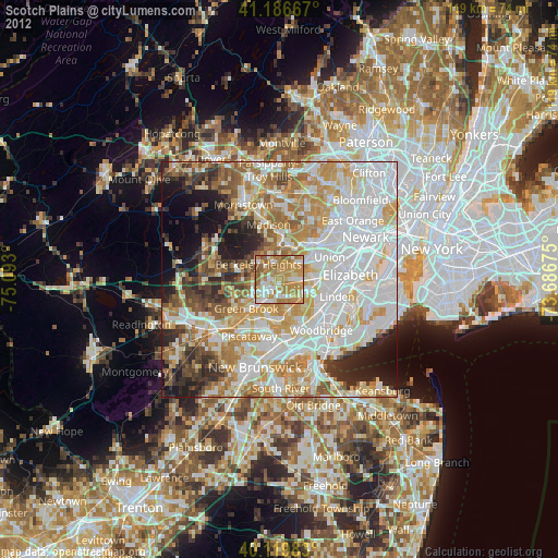
» Earth at Night: Flat Maps 2012, 2016