Cranford night lights from space
Night Light of Cranford (New Jersey) from space (United States) Src. Average luminocity for 10x10km area is 91.8036% and for 50x50km: 75.6212%.
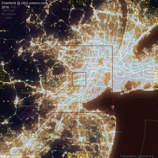
Analysis of Cranford night lights 2016
Square area 10x10 km:
 37.34%
90-99
27.76%80-89
17.21%70-79
11.85%60-69
5.84%50-59
0%40-49
0%30-39
0%20-29
0%10-19
0%0-9
0%Square area 50x50 km:
28.9%90-99
18.71%80-89
8.5%70-79
10.72%60-69
8.35%50-59
5.39%40-49
4.03%30-39
4.13%20-29
4.65%10-19
3.92%0-9
2.71%Clear (daylight) street map image can be seen on geolist.org.
Map coordinates:
41° 11' 22.9" North, 75° 0' 9.8" West
40° 39' 30.4" North, 74° 17' 58.5" West
40° 7' 22.5" North, 73° 35' 47.3" West
Some cities around Cranford sort by population:
• Union
5.3 km =3.3 mi,  35°
35°
• Westfield
4 km =2.5 mi,  270°
270°
• Roselle
3.5 km =2.2 mi,  101°
101°
• Clark
2.2 km =1.4 mi,  205°
205°
• Springfield
5.4 km =3.4 mi,  343°
343°
• Roselle Park
3.1 km =1.9 mi,  77°
77°
• Kenilworth
2.1 km =1.3 mi,  20°
20°
• Mountainside
5.1 km =3.2 mi,  287°
287°
5097017 (p: 22,627)
Sources (retrieved 2019-11-25):
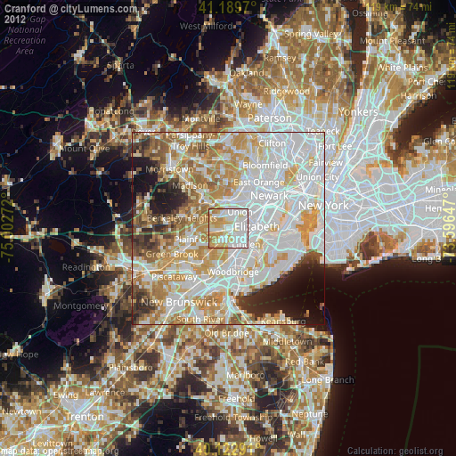
» Earth at Night: Flat Maps 2012, 2016