Clark night lights from space
Night Light of Clark (New Jersey) from space (United States) Src. Average luminocity for 10x10km area is 90.0032% and for 50x50km: 74.5349%.
Analysis of Clark night lights 2016
Square area 10x10 km:
 31.49%
90-99
24.68%80-89
22.73%70-79
17.53%60-69
3.57%50-59
0%40-49
0%30-39
0%20-29
0%10-19
0%0-9
0%Square area 50x50 km:
26.96%90-99
18.28%80-89
8.81%70-79
11.01%60-69
8.71%50-59
5.84%40-49
4.31%30-39
4.33%20-29
5.02%10-19
4.26%0-9
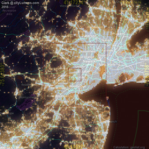
2.48%Clear (daylight) street map image can be seen on geolist.org.
Map coordinates:
41° 10' 20.4" North, 75° 0' 49.8" West
40° 38' 27.4" North, 74° 18' 38.5" West
40° 6' 19" North, 73° 36' 27.3" West
Some cities around Clark sort by population:
• Linden
6 km =3.7 mi,  110°
110°
• Westfield
3.7 km =2.3 mi,  302°
302°
• Rahway
4.6 km =2.9 mi,  142°
142°
• Cranford
2.2 km =1.4 mi,  25°
25°
• Roselle
4.6 km =2.9 mi,  73°
73°
• Roselle Park
4.7 km =2.9 mi,  56°
56°
• Kenilworth
4.3 km =2.7 mi,  23°
23°
• Mountainside
5.3 km =3.3 mi,  311°
311°
5096655 (p: 14,628)
Sources (retrieved 2019-11-25):
» Earth at Night: Flat Maps 2012, 2016