Plainfield night lights from space
Night Light of Plainfield (New Jersey) from space (United States) Src. Average luminocity for 10x10km area is 77.3263% and for 50x50km: 69.1374%.
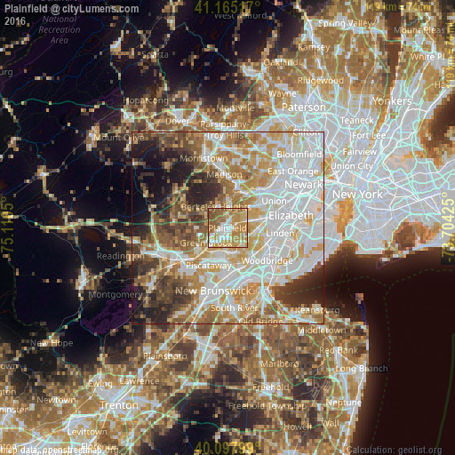
Analysis of Plainfield night lights 2016
Square area 10x10 km:
 11.04%
90-99
16.56%80-89
12.99%70-79
27.6%60-69
18.99%50-59
10.71%40-49
2.11%30-39
0%20-29
0%10-19
0%0-9
0%Square area 50x50 km:
21.56%90-99
15.86%80-89
8.58%70-79
10.71%60-69
9.12%50-59
7.15%40-49
5.73%30-39
5.6%20-29
6.72%10-19
6.31%0-9
2.66%Clear (daylight) street map image can be seen on geolist.org.
Map coordinates:
41° 9' 54.6" North, 75° 6' 37.8" West
40° 38' 1.4" North, 74° 24' 26.5" West
40° 5' 52.8" North, 73° 42' 15.3" West
Some cities around Plainfield sort by population:
• Westfield
5.8 km =3.6 mi,  60°
60°
• South Plainfield
6.1 km =3.8 mi,  183°
183°
• Scotch Plains
2.8 km =1.7 mi,  31°
31°
• North Plainfield
1.7 km =1.1 mi,  256°
256°
• Berkeley Heights
6.3 km =3.9 mi,  331°
331°
• Fanwood
2.2 km =1.4 mi,  68°
68°
• Mountainside
6 km =3.7 mi,  44°
44°
• Watchung
3.7 km =2.3 mi,  277°
277°
5102720 (p: 51,217)
Sources (retrieved 2019-11-25):
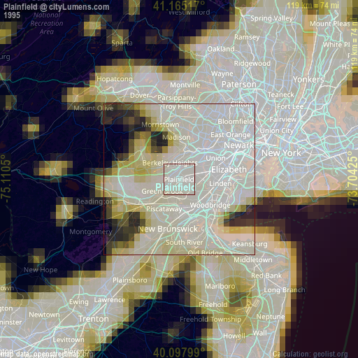
» NASA, Earths city lights 1995
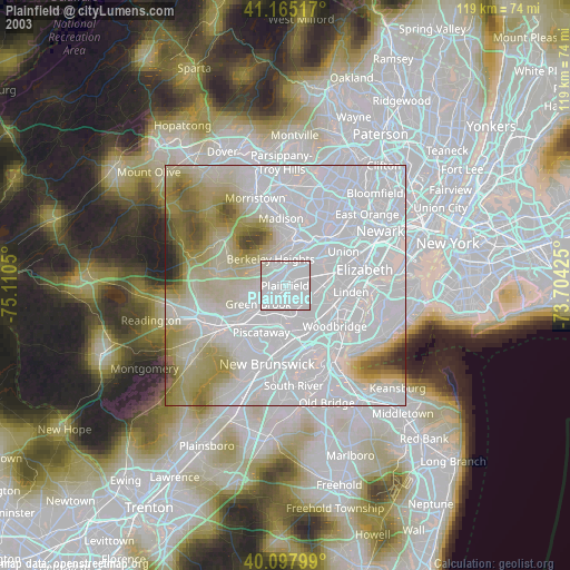
» NASA city lights 2003
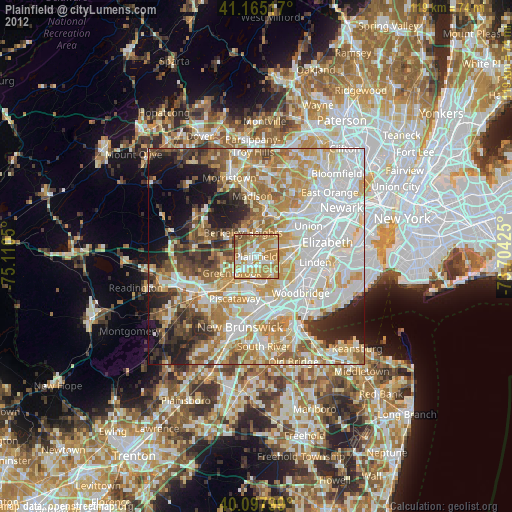
» Earth at Night: Flat Maps 2012, 2016