La Puente night lights from space
Night Light of La Puente (California) from space (United States) Src. Average luminocity for 10x10km area is 90.986% and for 50x50km: 75.2808%.
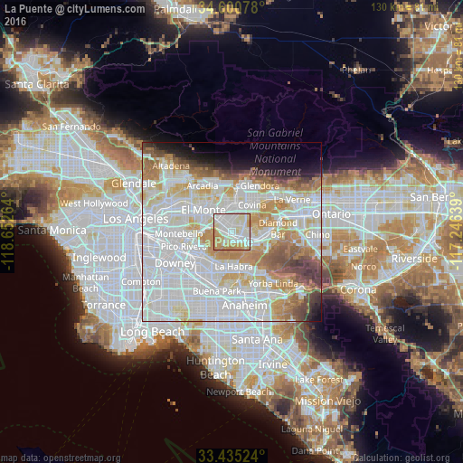
Analysis of La Puente night lights 2016
Square area 10x10 km:
 31.82%
90-99
32.69%80-89
13.11%70-79
17.48%60-69
4.9%50-59
0%40-49
0%30-39
0%20-29
0%10-19
0%0-9
0%Square area 50x50 km:
30.85%90-99
21.35%80-89
7.36%70-79
8.68%60-69
7.67%50-59
4.1%40-49
3.82%30-39
2.39%20-29
2.19%10-19
3.76%0-9
7.84%Clear (daylight) street map image can be seen on geolist.org.
Map coordinates:
34° 36' 2.8" North, 118° 39' 9.5" West
34° 1' 12" North, 117° 56' 58.2" West
33° 26' 6.9" North, 117° 14' 47" West
Some cities around La Puente sort by population:
• West Covina
5.5 km =3.4 mi,  10°
10°
• Hacienda Heights
3.5 km =2.2 mi,  210°
210°
• Rowland Heights
6.4 km =4 mi,  140°
140°
• Valinda
2.9 km =1.8 mi, 10°
• West Puente Valley
3.9 km =2.4 mi,  333°
333°
• South San Jose Hills
4.2 km =2.6 mi,  101°
101°
• Avocado Heights
4.2 km =2.6 mi,  295°
295°
• La Habra Heights
6.6 km =4.1 mi,  180°
180°
5364066 (p: 40,745)
Sources (retrieved 2019-11-25):
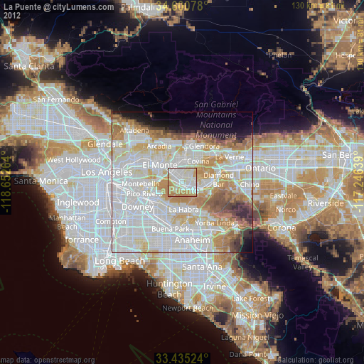
» Earth at Night: Flat Maps 2012, 2016