Hacienda Heights night lights from space
Night Light of Hacienda Heights (California) from space (United States) Src. Average luminocity for 10x10km area is 82.6381% and for 50x50km: 80.7881%.
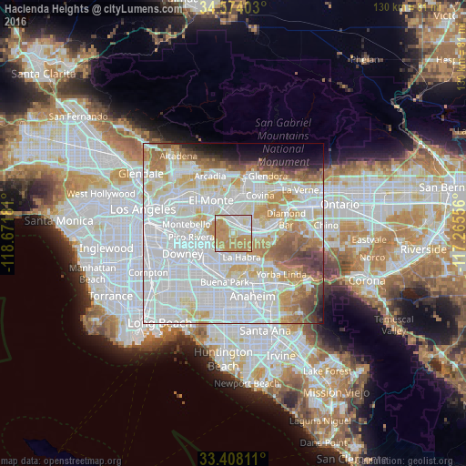
Analysis of Hacienda Heights night lights 2016
Square area 10x10 km:
 19.23%
90-99
17.66%80-89
8.57%70-79
36.01%60-69
18.53%50-59
0%40-49
0%30-39
0%20-29
0%10-19
0%0-9
0%Square area 50x50 km:
34.45%90-99
23.11%80-89
7.7%70-79
9.12%60-69
7.78%50-59
4.19%40-49
3.49%30-39
2%20-29
1.78%10-19
2.92%0-9
3.46%Clear (daylight) street map image can be seen on geolist.org.
Map coordinates:
34° 34' 26.5" North, 118° 40' 18.5" West
33° 59' 35.1" North, 117° 58' 7.2" West
33° 24' 29.2" North, 117° 15' 56" West
Some cities around Hacienda Heights sort by population:
• Whittier
6.1 km =3.8 mi,  255°
255°
• Rowland Heights
6.1 km =3.8 mi,  107°
107°
• La Puente
3.5 km =2.2 mi,  30°
30°
• Valinda
6.2 km =3.9 mi,  21°
21°
• West Puente Valley
6.5 km =4 mi,  0°
0°
• South San Jose Hills
6.3 km =3.9 mi,  69°
69°
• Avocado Heights
5.2 km =3.2 mi,  336°
336°
• La Habra Heights
4 km =2.5 mi,  155°
155°
5354819 (p: 54,038)
Sources (retrieved 2019-11-25):
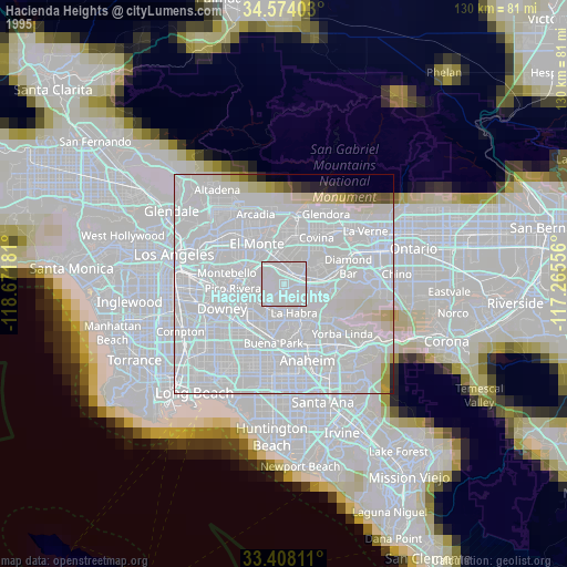
» NASA, Earths city lights 1995
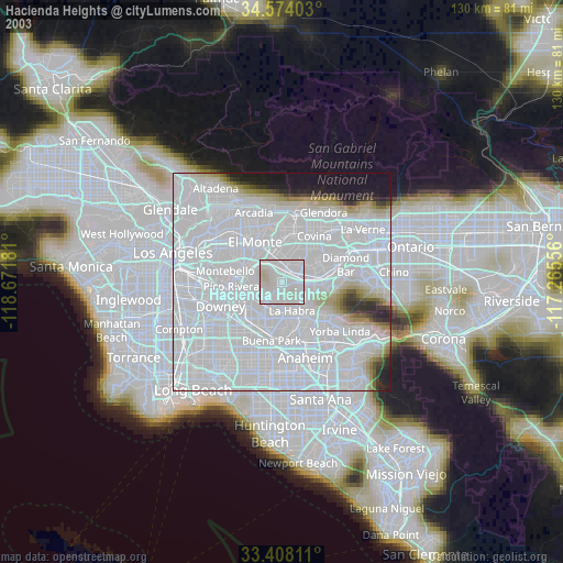
» NASA city lights 2003
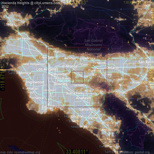
» Earth at Night: Flat Maps 2012, 2016