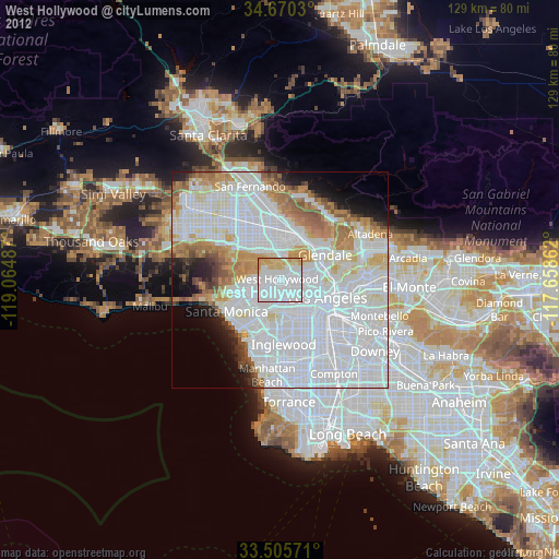
West Hollywood night lights from space
Night Light of West Hollywood (California) from space (United States) Src. Average luminocity for 10x10km area is 94.542% and for 50x50km: 71.7237%.
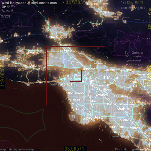
Analysis of West Hollywood night lights 2016
Square area 10x10 km:
 66.96%
90-99
6.99%80-89
14.16%70-79
11.89%60-69
0%50-59
0%40-49
0%30-39
0%20-29
0%10-19
0%0-9
0%Square area 50x50 km:
38.32%90-99
15.65%80-89
5.13%70-79
5.31%60-69
6.81%50-59
3.59%40-49
2.23%30-39
2.41%20-29
3.32%10-19
4.53%0-9
12.7%Clear (daylight) street map image can be seen on geolist.org.
Map coordinates:
34° 40' 13.1" North, 119° 3' 53.5" West
34° 5' 24" North, 118° 21' 42.3" West
33° 30' 20.6" North, 117° 39' 31" West
Some cities around West Hollywood sort by population:
• Hollywood
3.4 km =2.1 mi,  73°
73°
• Koreatown
6.6 km =4.1 mi,  122°
122°
• Universal City
5.5 km =3.4 mi,  8°
8°
• Culver City
8.3 km =5.2 mi,  202°
202°
• Beverly Hills
4 km =2.5 mi,  242°
242°
• Studio City
7.3 km =4.5 mi,  333°
333°
• Silver Lake
8.4 km =5.2 mi,  92°
92°
• Century City
6.4 km =4 mi,  233°
233°
5408076 (p: 36,222)
Sources (retrieved 2019-11-25):
» Earth at Night: Flat Maps 2012, 2016