Koreatown night lights from space
Night Light of Koreatown (California) from space (United States) Src. Average luminocity for 10x10km area is 99.8374% and for 50x50km: 78.052%.
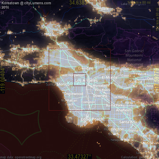
Analysis of Koreatown night lights 2016
Square area 10x10 km:
 91.61%
90-99
8.39%80-89
0%70-79
0%60-69
0%50-59
0%40-49
0%30-39
0%20-29
0%10-19
0%0-9
0%Square area 50x50 km:
43.68%90-99
18.58%80-89
5.46%70-79
5.06%60-69
5.48%50-59
2.91%40-49
1.74%30-39
1.9%20-29
2.74%10-19
3.37%0-9
9.08%Clear (daylight) street map image can be seen on geolist.org.
Map coordinates:
34° 38' 17.9" North, 119° 0' 14.5" West
34° 3' 28" North, 118° 18' 3.3" West
33° 28' 23.8" North, 117° 35' 52" West
Some cities around Koreatown sort by population:
• Los Angeles
5.3 km =3.3 mi,  96°
96°
• Hollywood
5.1 km =3.2 mi,  332°
332°
• Boyle Heights
9.2 km =5.7 mi,  106°
106°
• Echo Park
4.3 km =2.7 mi,  58°
58°
• West Hollywood
6.6 km =4.1 mi,  302°
302°
• Beverly Hills
9.3 km =5.8 mi,  280°
280°
• Silver Lake
4.3 km =2.7 mi,  41°
41°
• View Park-Windsor Hills
8.2 km =5.1 mi,  212°
212°
5363748 (p: 124,281)
Sources (retrieved 2019-11-25):
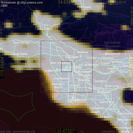
» NASA, Earths city lights 1995
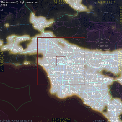
» NASA city lights 2003
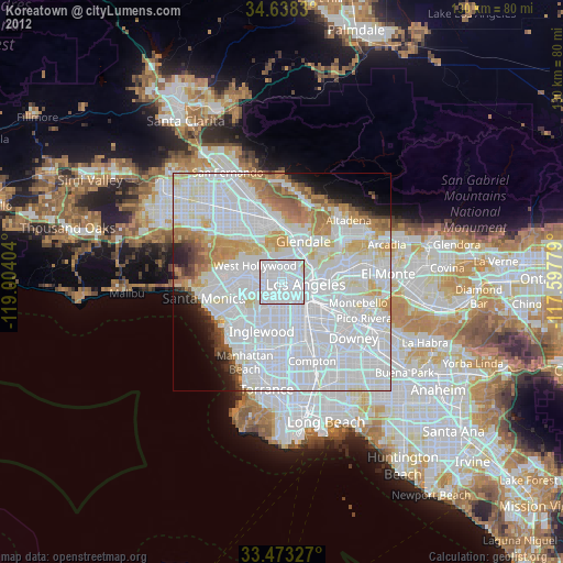
» Earth at Night: Flat Maps 2012, 2016