Silver Lake night lights from space
Night Light of Silver Lake (California) from space (United States) Src. Average luminocity for 10x10km area is 97.2168% and for 50x50km: 76.9222%.
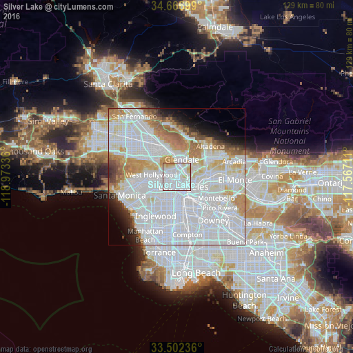
Analysis of Silver Lake night lights 2016
Square area 10x10 km:
 66.78%
90-99
21.15%80-89
7.87%70-79
4.2%60-69
0%50-59
0%40-49
0%30-39
0%20-29
0%10-19
0%0-9
0%Square area 50x50 km:
42.59%90-99
17.71%80-89
5.41%70-79
5.81%60-69
5.76%50-59
2.98%40-49
1.96%30-39
1.85%20-29
2.39%10-19
3.72%0-9
9.8%Clear (daylight) street map image can be seen on geolist.org.
Map coordinates:
34° 40' 1.2" North, 118° 58' 24.1" West
34° 5' 12" North, 118° 16' 12.8" West
33° 30' 8.5" North, 117° 34' 1.6" West
Some cities around Silver Lake sort by population:
• Los Angeles
4.5 km =2.8 mi,  147°
147°
• Glendale
6.4 km =4 mi,  12°
12°
• Hollywood
5.4 km =3.4 mi,  283°
283°
• Koreatown
4.3 km =2.7 mi,  221°
221°
• Universal City
9.6 km =6 mi,  307°
307°
• Boyle Heights
8.4 km =5.2 mi,  134°
134°
• Echo Park
1.3 km =0.8 mi,  137°
137°
• West Hollywood
8.4 km =5.2 mi,  272°
272°
10104153 (p: 32,890)
Sources (retrieved 2019-11-25):
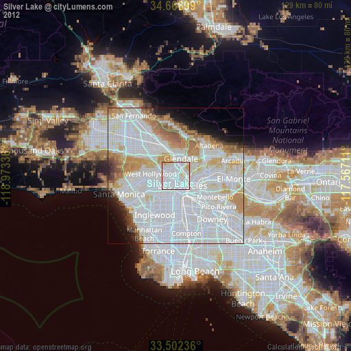
» Earth at Night: Flat Maps 2012, 2016