Culver City night lights from space
Night Light of Culver City (California) from space (United States) Src. Average luminocity for 10x10km area is 98.8164% and for 50x50km: 68.9448%.
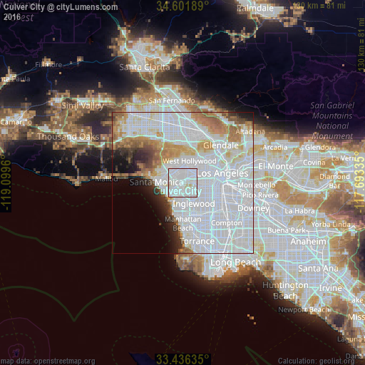
Analysis of Culver City night lights 2016
Square area 10x10 km:
 67.48%
90-99
29.37%80-89
3.15%70-79
0%60-69
0%50-59
0%40-49
0%30-39
0%20-29
0%10-19
0%0-9
0%Square area 50x50 km:
39.4%90-99
14.79%80-89
4%70-79
4.73%60-69
5.59%50-59
2.83%40-49
1.92%30-39
2.17%20-29
2.97%10-19
3.94%0-9
17.67%Clear (daylight) street map image can be seen on geolist.org.
Map coordinates:
34° 36' 6.8" North, 119° 5' 58.6" West
34° 1' 16" North, 118° 23' 47.3" West
33° 26' 10.9" North, 117° 41' 36.1" West
Some cities around Culver City sort by population:
• Inglewood
7.7 km =4.8 mi,  148°
148°
• Venice
6.8 km =4.2 mi,  240°
240°
• West Hollywood
8.3 km =5.2 mi,  22°
22°
• Beverly Hills
5.8 km =3.6 mi,  356°
356°
• View Park-Windsor Hills
5.3 km =3.3 mi,  122°
122°
• Marina del Rey
6.8 km =4.2 mi,  228°
228°
• Ladera Heights
3.6 km =2.2 mi, 146°
• Century City
4.3 km =2.7 mi,  332°
332°
5341114 (p: 39,717)
Sources (retrieved 2019-11-25):
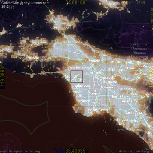
» Earth at Night: Flat Maps 2012, 2016