Wellesley night lights from space
Night Light of Wellesley (Massachusetts) from space (United States) Src. Average luminocity for 10x10km area is 54.4% and for 50x50km: 54.6224%.
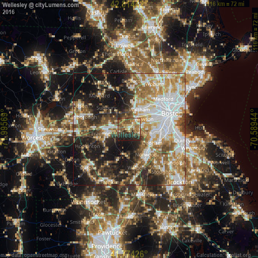
Analysis of Wellesley night lights 2016
Square area 10x10 km:
 4.09%
4.09%90-99
6.82%80-89
11.21%70-79
9.09%60-69
10.91%50-59
13.48%40-49
10.76%30-39
11.06%20-29
15%10-19
7.58%0-9
0%Square area 50x50 km:
12.67%90-99
11.43%80-89
6.53%70-79
6.94%60-69
7.97%50-59
7.88%40-49
7.27%30-39
6.46%20-29
10.68%10-19
16.72%0-9
5.45%Clear (daylight) street map image can be seen on geolist.org.
Map coordinates:
42° 48' 51.9" North, 71° 59' 44.5" West
42° 17' 47.4" North, 71° 17' 33.2" West
41° 46' 27.3" North, 70° 35' 22" West
Some cities around Wellesley sort by population:
• Newton
8.2 km =5.1 mi,  56°
56°
• Framingham
10.3 km =6.4 mi,  259°
259°
• Waltham
10.1 km =6.3 mi,  27°
27°
• Natick
4.9 km =3 mi,  252°
252°
• Needham
5.1 km =3.2 mi,  106°
106°
• Wayland
9.3 km =5.8 mi,  322°
322°
• Weston
7.9 km =4.9 mi,  353°
353°
• Cochituate
6.5 km =4 mi,  294°
294°
4954738 (p: 27,982)
Sources (retrieved 2019-11-25):
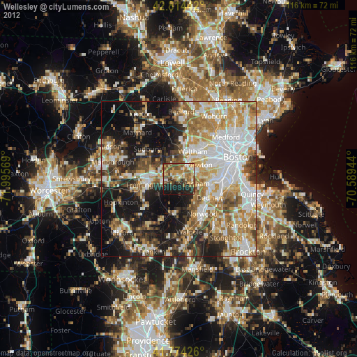
» Earth at Night: Flat Maps 2012, 2016