Newton night lights from space
Night Light of Newton (Massachusetts) from space (United States) Src. Average luminocity for 10x10km area is 88.1111% and for 50x50km: 57.8252%.
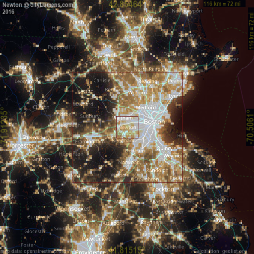
Analysis of Newton night lights 2016
Square area 10x10 km:
 30.16%
90-99
26.51%80-89
14.29%70-79
16.67%60-69
10.79%50-59
1.59%40-49
0%30-39
0%20-29
0%10-19
0%0-9
0%Square area 50x50 km:
13.8%90-99
12.38%80-89
6.79%70-79
7.73%60-69
9.98%50-59
8.63%40-49
6.27%30-39
5.37%20-29
9.55%10-19
15.62%0-9
3.88%Clear (daylight) street map image can be seen on geolist.org.
Map coordinates:
42° 51' 16.7" North, 71° 54' 44.5" West
42° 20' 13.3" North, 71° 12' 33.2" West
41° 48' 54.5" North, 70° 30' 22" West
Some cities around Newton sort by population:
• Waltham
4.9 km =3 mi,  333°
333°
• Brookline
7.3 km =4.5 mi,  94°
94°
• Jamaica Plain
7.9 km =4.9 mi,  112°
112°
• Watertown
4.3 km =2.7 mi,  29°
29°
• Needham
6.3 km =3.9 mi,  198°
198°
• Wellesley
8.2 km =5.1 mi,  236°
236°
• Belmont
7 km =4.3 mi,  20°
20°
• Weston
8.4 km =5.2 mi,  293°
293°
4945283 (p: 88,817)
Sources (retrieved 2019-11-25):
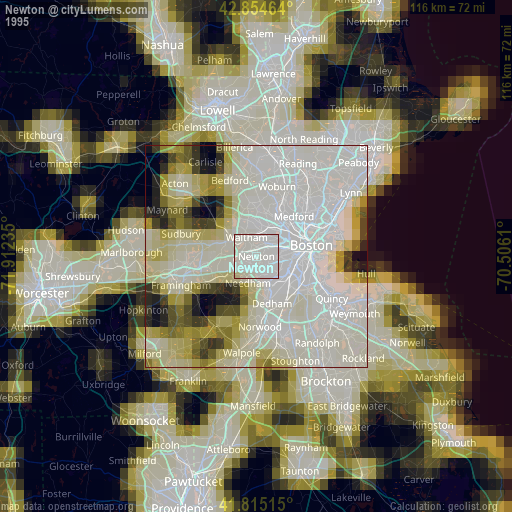
» NASA, Earths city lights 1995
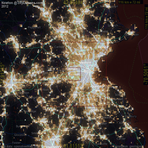
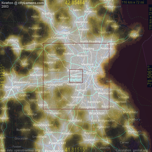
» NASA city lights 2003
» Earth at Night: Flat Maps 2012, 2016