Waltham night lights from space
Night Light of Waltham (Massachusetts) from space (United States) Src. Average luminocity for 10x10km area is 80.6333% and for 50x50km: 57.3414%.
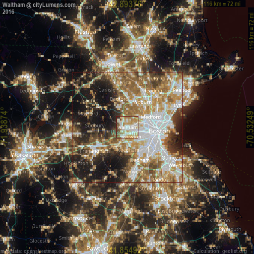
Analysis of Waltham night lights 2016
Square area 10x10 km:
 20.95%
90-99
26.83%80-89
12.7%70-79
13.49%60-69
8.89%50-59
4.6%40-49
6.19%30-39
3.81%20-29
2.54%10-19
0%0-9
0%Square area 50x50 km:
13.48%90-99
11.95%80-89
6.54%70-79
7.62%60-69
9.92%50-59
9.68%40-49
6.35%30-39
5.51%20-29
9.07%10-19
16.07%0-9
3.81%Clear (daylight) street map image can be seen on geolist.org.
Map coordinates:
42° 53' 37.5" North, 71° 56' 19.5" West
42° 22' 35.4" North, 71° 14' 8.2" West
41° 51' 17.7" North, 70° 31' 57" West
Some cities around Waltham sort by population:
• Newton
4.9 km =3 mi,  153°
153°
• Arlington
7.8 km =4.8 mi,  56°
56°
• Watertown
4.4 km =2.7 mi,  98°
98°
• Lexington
7.9 km =4.9 mi,  6°
6°
• Wellesley
10.1 km =6.3 mi,  207°
207°
• Belmont
5.2 km =3.2 mi,  65°
65°
• Weston
5.6 km =3.5 mi,  258°
258°
• Lincoln
7.9 km =4.9 mi,  314°
314°
4954380 (p: 63,378)
Sources (retrieved 2019-11-25):
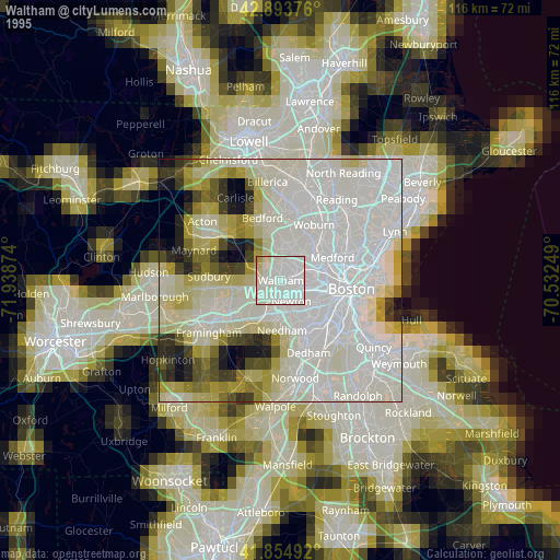
» NASA, Earths city lights 1995
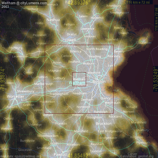
» NASA city lights 2003
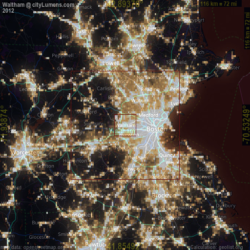
» Earth at Night: Flat Maps 2012, 2016