Montevideo night lights from space
Night Light of Montevideo (Minnesota) from space (United States) Src. Average luminocity for 10x10km area is 10.5127% and for 50x50km: 0.853%.
Analysis of Montevideo night lights 2016
Square area 10x10 km:
 1.27%
1.27%90-99
1.59%80-89
0.95%70-79
0%60-69
2.54%50-59
3.17%40-49
0.48%30-39
1.75%20-29
1.43%10-19
0.16%0-9
86.67%Square area 50x50 km:
0.09%90-99
0.14%80-89
0.07%70-79
0.07%60-69
0.22%50-59
0.18%40-49
0.06%30-39
0.12%20-29
0.14%10-19
0.1%0-9
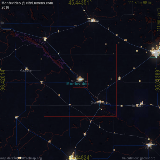
98.83%Clear (daylight) street map image can be seen on geolist.org.
Map coordinates:
45° 26' 36.6" North, 96° 25' 12.5" West
44° 56' 52.9" North, 95° 43' 1.2" West
44° 26' 53.7" North, 95° 0' 50" West
Some cities around Montevideo sort by population:
• Watertown
110.2 km =68.5 mi,  267°
267°
• Willmar
56.4 km =35 mi,  69°
69°
• Hutchinson
106.3 km =66.1 mi,  93°
93°
• Marshall
56 km =34.8 mi,  185°
185°
• Alexandria
107.5 km =66.8 mi,  14°
14°
• Litchfield
95.5 km =59.3 mi,  77°
77°
• Morris
72.6 km =45.1 mi,  347°
347°
• Redwood Falls
65.7 km =40.8 mi,  133°
133°
5038018 (p: 5,217)
Sources (retrieved 2019-11-25):
» Earth at Night: Flat Maps 2012, 2016