Waterbury night lights from space
Night Light of Waterbury (Connecticut) from space (United States) Src. Average luminocity for 10x10km area is 74.8639% and for 50x50km: 30.9816%.
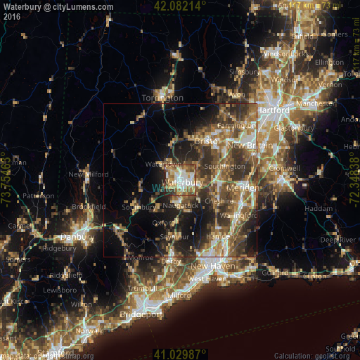
Analysis of Waterbury night lights 2016
Square area 10x10 km:
 16.84%
90-99
18.71%80-89
10.37%70-79
16.33%60-69
9.18%50-59
12.93%40-49
8.5%30-39
3.4%20-29
3.74%10-19
0%0-9
0%Square area 50x50 km:
3.2%90-99
3.73%80-89
3.87%70-79
4.62%60-69
5.68%50-59
7.16%40-49
6.71%30-39
6.72%20-29
8.47%10-19
11.28%0-9
38.56%Clear (daylight) street map image can be seen on geolist.org.
Map coordinates:
42° 4' 55.7" North, 73° 45' 16.7" West
41° 33' 29.3" North, 73° 3' 5.4" West
41° 1' 47.5" North, 72° 20' 54.2" West
Some cities around Waterbury sort by population:
• Naugatuck
8 km =5 mi,  179°
179°
• Wolcott
7.3 km =4.5 mi,  47°
47°
• Plymouth
12.7 km =7.9 mi,  359°
359°
• Woodbury
13.2 km =8.2 mi,  263°
263°
• Prospect
8.7 km =5.4 mi,  135°
135°
• Oakville
4.8 km =3 mi,  324°
324°
• Middlebury
7.2 km =4.5 mi,  242°
242°
• Terryville
13.8 km =8.6 mi,  14°
14°
4845193 (p: 108,802)
Sources (retrieved 2019-11-25):
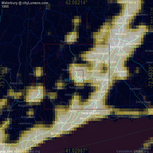
» NASA, Earths city lights 1995
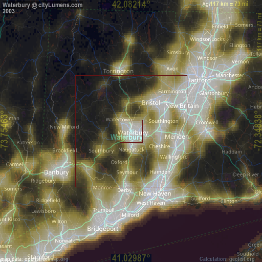
» NASA city lights 2003
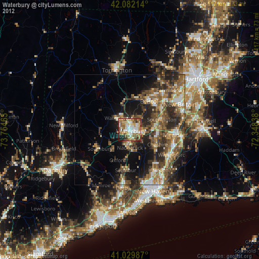
» Earth at Night: Flat Maps 2012, 2016