Naugatuck night lights from space
Night Light of Naugatuck (Connecticut) from space (United States) Src. Average luminocity for 10x10km area is 40.3214% and for 50x50km: 36.1887%.
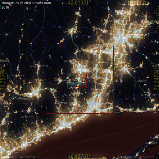
Analysis of Naugatuck night lights 2016
Square area 10x10 km:
 2.04%
2.04%90-99
2.72%80-89
4.42%70-79
7.65%60-69
7.65%50-59
10.37%40-49
10.37%30-39
8.67%20-29
15.99%10-19
29.25%0-9
0.85%Square area 50x50 km:
4.59%90-99
5.18%80-89
4.34%70-79
5.21%60-69
6.41%50-59
8%40-49
7.82%30-39
7.5%20-29
8.55%10-19
11.26%0-9
31.15%Clear (daylight) street map image can be seen on geolist.org.
Map coordinates:
42° 0' 37.8" North, 73° 45' 13.6" West
41° 29' 9.3" North, 73° 3' 2.4" West
40° 57' 25.5" North, 72° 20' 51.1" West
Some cities around Naugatuck sort by population:
• Waterbury
8 km =5 mi,  359°
359°
• Cheshire
12.6 km =7.8 mi,  83°
83°
• Seymour
10.1 km =6.3 mi,  191°
191°
• Oxford
8 km =5 mi,  223°
223°
• Prospect
6.3 km =3.9 mi,  73°
73°
• Oakville
12.3 km =7.6 mi,  346°
346°
• Middlebury
7.9 km =4.9 mi,  306°
306°
• Cheshire Village
12.7 km =7.9 mi, 81°
4839222 (p: 31,538)
Sources (retrieved 2019-11-25):
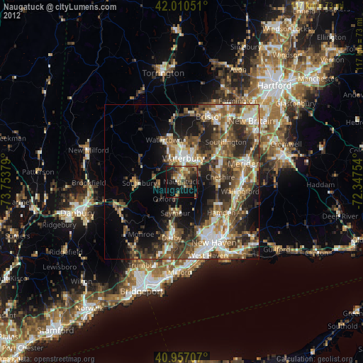
» Earth at Night: Flat Maps 2012, 2016