North Bellmore night lights from space
Night Light of North Bellmore (New York) from space (United States) Src. Average luminocity for 10x10km area is 97.6818% and for 50x50km: 53.817%.
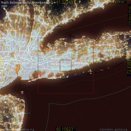
Analysis of North Bellmore night lights 2016
Square area 10x10 km:
 66.56%
90-99
28.08%80-89
1.95%70-79
0.32%60-69
1.3%50-59
0.81%40-49
0.16%30-39
0.81%20-29
0%10-19
0%0-9
0%Square area 50x50 km:
21.26%90-99
12.58%80-89
5.44%70-79
6.3%60-69
6.14%50-59
4.61%40-49
2.94%30-39
2.75%20-29
5.3%10-19
5.47%0-9
27.22%Clear (daylight) street map image can be seen on geolist.org.
Map coordinates:
41° 13' 21" North, 74° 14' 11.7" West
40° 41' 29.4" North, 73° 32' 0.5" West
40° 9' 22.4" North, 72° 49' 49.2" West
Some cities around North Bellmore sort by population:
• Levittown
4.2 km =2.6 mi,  22°
22°
• East Meadow
3.3 km =2.1 mi,  319°
319°
• Merrick
3.5 km =2.2 mi,  205°
205°
• Wantagh
2.1 km =1.3 mi,  113°
113°
• Roosevelt
4.9 km =3 mi,  253°
253°
• Bellmore
2.6 km =1.6 mi,  167°
167°
• Seaford
4.8 km =3 mi,  126°
126°
• Plainedge
5.1 km =3.2 mi,  55°
55°
5128904 (p: 19,941)
Sources (retrieved 2019-11-25):
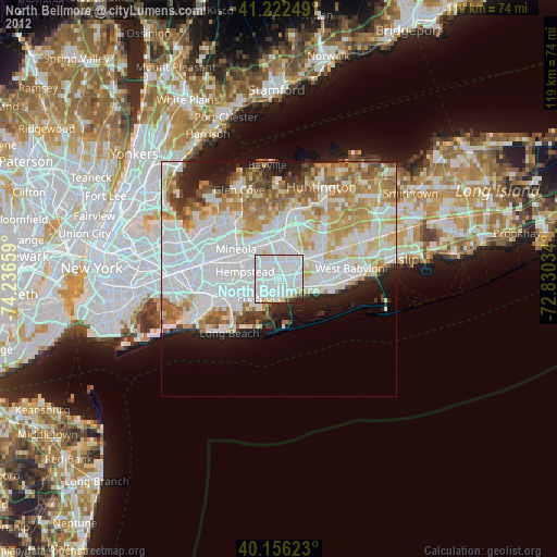
» Earth at Night: Flat Maps 2012, 2016