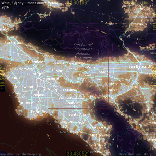
Walnut night lights from space
Night Light of Walnut (California) from space (United States) Src. Average luminocity for 10x10km area is 87.4808% and for 50x50km: 69.9057%.

Analysis of Walnut night lights 2016
Square area 10x10 km:
 21.85%
90-99
28.15%80-89
18.88%70-79
23.43%60-69
7.52%50-59
0.17%40-49
0%30-39
0%20-29
0%10-19
0%0-9
0%Square area 50x50 km:
24.25%90-99
19.9%80-89
7.33%70-79
9.43%60-69
8.92%50-59
4.89%40-49
4.65%30-39
2.86%20-29
2.55%10-19
4.99%0-9
10.22%Clear (daylight) street map image can be seen on geolist.org.
Map coordinates:
34° 36' 3.8" North, 118° 34' 6.5" West
34° 1' 13" North, 117° 51' 55.2" West
33° 26' 7.9" North, 117° 9' 44" West
Some cities around Walnut sort by population:
• West Covina
8.7 km =5.4 mi,  308°
308°
• Diamond Bar
5.2 km =3.2 mi,  79°
79°
• Rowland Heights
6.1 km =3.8 mi,  216°
216°
• Covina
8.1 km =5 mi,  343°
343°
• La Puente
7.8 km =4.8 mi,  269°
269°
• Valinda
7.7 km =4.8 mi,  291°
291°
• South San Jose Hills
3.7 km =2.3 mi,  257°
257°
• Charter Oak
9.4 km =5.8 mi,  11°
11°
5406976 (p: 30,237)
Sources (retrieved 2019-11-25):
» Earth at Night: Flat Maps 2012, 2016