Rowland Heights night lights from space
Night Light of Rowland Heights (California) from space (United States) Src. Average luminocity for 10x10km area is 84.3199% and for 50x50km: 78.654%.
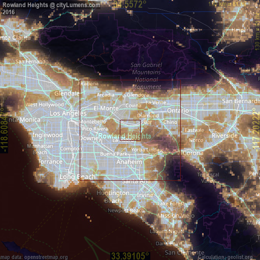
Analysis of Rowland Heights night lights 2016
Square area 10x10 km:
 21.33%
90-99
23.6%80-89
8.92%70-79
26.75%60-69
19.41%50-59
0%40-49
0%30-39
0%20-29
0%10-19
0%0-9
0%Square area 50x50 km:
29.87%90-99
23.46%80-89
7.78%70-79
9.64%60-69
8.45%50-59
4.69%40-49
4.44%30-39
2.94%20-29
2.09%10-19
3.74%0-9
2.89%Clear (daylight) street map image can be seen on geolist.org.
Map coordinates:
34° 33' 25.9" North, 118° 36' 30.5" West
33° 58' 34" North, 117° 54' 19.2" West
33° 23' 27.8" North, 117° 12' 8" West
Some cities around Rowland Heights sort by population:
• La Habra
6.2 km =3.9 mi,  217°
217°
• Hacienda Heights
6.1 km =3.8 mi,  287°
287°
• Brea
6.6 km =4.1 mi,  175°
175°
• La Puente
6.4 km =4 mi,  320°
320°
• Walnut
6.1 km =3.8 mi,  36°
36°
• Valinda
8.5 km =5.3 mi,  335°
335°
• South San Jose Hills
4.1 km =2.5 mi,  0°
0°
• La Habra Heights
4.5 km =2.8 mi,  247°
247°
5389126 (p: 48,993)
Sources (retrieved 2019-11-25):
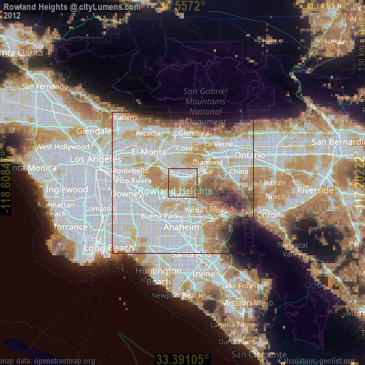
» Earth at Night: Flat Maps 2012, 2016