Vidalia night lights from space
Night Light of Vidalia (Georgia) from space (United States) Src. Average luminocity for 10x10km area is 39.535% and for 50x50km: 4.4238%.
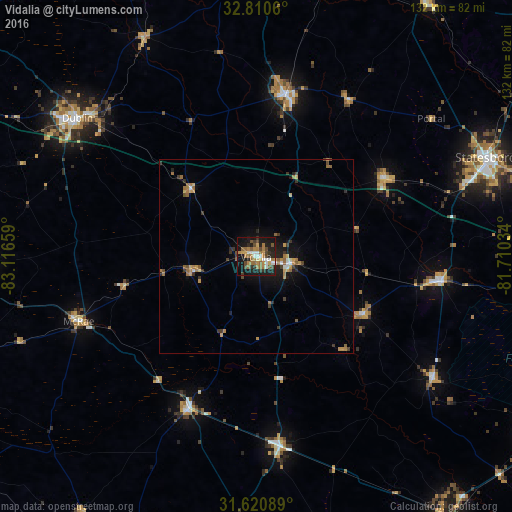
Analysis of Vidalia night lights 2016
Square area 10x10 km:
 4.37%
4.37%90-99
5.24%80-89
2.27%70-79
7.34%60-69
12.24%50-59
3.5%40-49
7.52%30-39
4.9%20-29
9.62%10-19
36.54%0-9
6.47%Square area 50x50 km:
0.29%90-99
0.37%80-89
0.33%70-79
0.82%60-69
1.24%50-59
0.54%40-49
0.59%30-39
0.86%20-29
0.85%10-19
3.26%0-9
90.85%Clear (daylight) street map image can be seen on geolist.org.
Map coordinates:
32° 48' 38.2" North, 83° 6' 59.7" West
32° 13' 3.7" North, 82° 24' 48.5" West
31° 37' 15.2" North, 81° 42' 37.2" West
Some cities around Vidalia sort by population:
• Hinesville
87.4 km =54.3 mi,  118°
118°
• Statesboro
64.6 km =40.1 mi,  66°
66°
• Dublin
58.4 km =36.3 mi,  307°
307°
• Jesup
84.1 km =52.3 mi,  143°
143°
• Swainsboro
42.9 km =26.7 mi,  10°
10°
• McRae
48.8 km =30.3 mi,  250°
250°
• Eastman
71.9 km =44.7 mi,  268°
268°
• Glennville
55.4 km =34.4 mi, 124°
4228425 (p: 10,679)
Sources (retrieved 2019-11-25):
» Earth at Night: Flat Maps 2012, 2016