Glennville night lights from space
Night Light of Glennville (Georgia) from space (United States) Src. Average luminocity for 10x10km area is 16.5699% and for 50x50km: 2.8813%.
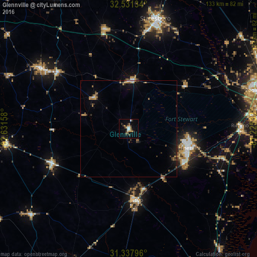
Analysis of Glennville night lights 2016
Square area 10x10 km:
 2.27%
2.27%90-99
1.22%80-89
1.05%70-79
4.2%60-69
2.45%50-59
2.1%40-49
0.52%30-39
4.9%20-29
2.27%10-19
3.32%0-9
75.7%Square area 50x50 km:
0.22%90-99
0.15%80-89
0.13%70-79
0.63%60-69
0.6%50-59
0.3%40-49
0.34%30-39
0.69%20-29
0.56%10-19
1.68%0-9
94.7%Clear (daylight) street map image can be seen on geolist.org.
Map coordinates:
32° 31' 52.8" North, 82° 37' 53.7" West
31° 56' 11.7" North, 81° 55' 42.4" West
31° 20' 16.7" North, 81° 13' 31.2" West
Some cities around Glennville sort by population:
• Hinesville
32.9 km =20.4 mi,  107°
107°
• Statesboro
58.6 km =36.4 mi,  13°
13°
• Pooler
67.2 km =41.8 mi,  72°
72°
• Richmond Hill
59 km =36.7 mi,  89°
89°
• Georgetown
66.3 km =41.2 mi, 85°
• Vidalia
55.4 km =34.4 mi,  304°
304°
• Jesup
36.8 km =22.9 mi,  173°
173°
• Garden City
75.6 km =47 mi, 74°
4197325 (p: 5,086)
Sources (retrieved 2019-11-25):
» Earth at Night: Flat Maps 2012, 2016