Vernon night lights from space
Night Light of Vernon (Texas) from space (United States) Src. Average luminocity for 10x10km area is 21.4451% and for 50x50km: 1.3168%.
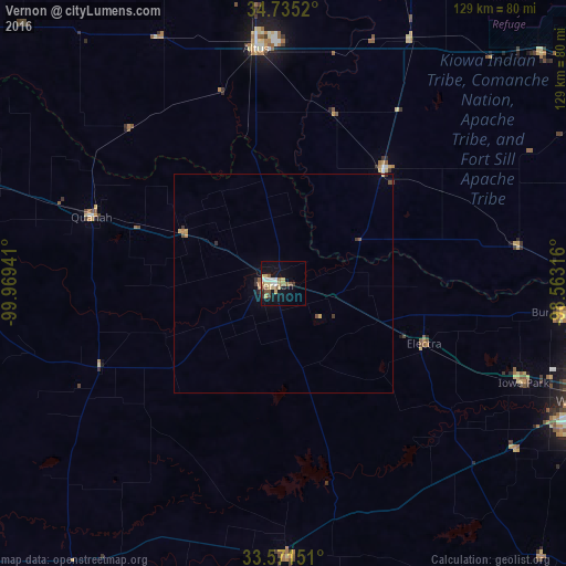
Analysis of Vernon night lights 2016
Square area 10x10 km:
 2.2%
2.2%90-99
2.93%80-89
5.68%70-79
1.65%60-69
2.56%50-59
5.31%40-49
1.1%30-39
1.65%20-29
1.1%10-19
16.67%0-9
59.16%Square area 50x50 km:
0.09%90-99
0.12%80-89
0.26%70-79
0.17%60-69
0.15%50-59
0.31%40-49
0.11%30-39
0.22%20-29
0.11%10-19
0.78%0-9
97.69%Clear (daylight) street map image can be seen on geolist.org.
Map coordinates:
34° 44' 6.7" North, 99° 58' 9.9" West
34° 9' 19.3" North, 99° 15' 58.6" West
33° 34' 17.4" North, 98° 33' 47.4" West
Some cities around Vernon sort by population:
• Wichita Falls
76.1 km =47.3 mi,  110°
110°
• Lawton
94.9 km =59 mi,  57°
57°
• Duncan
126.2 km =78.4 mi,  72°
72°
• Altus
54 km =33.6 mi,  353°
353°
• Burkburnett
64.3 km =40 mi,  95°
95°
• Graham
132.3 km =82.2 mi,  151°
151°
• Iowa Park
59.5 km =37 mi, 112°
• Childress
91.3 km =56.7 mi,  289°
289°
4739078 (p: 10,573)
Sources (retrieved 2019-11-25):
» Earth at Night: Flat Maps 2012, 2016