Duncan night lights from space
Night Light of Duncan (Oklahoma) from space (United States) Src. Average luminocity for 10x10km area is 41.7203% and for 50x50km: 3.5285%.
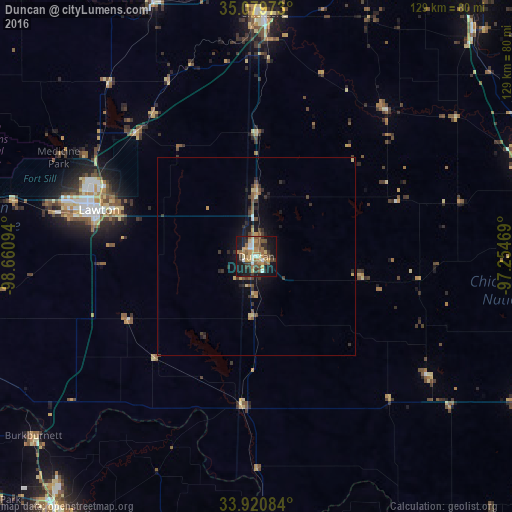
Analysis of Duncan night lights 2016
Square area 10x10 km:
 4.9%
4.9%90-99
4.02%80-89
4.55%70-79
8.57%60-69
9.09%50-59
10.49%40-49
4.02%30-39
6.99%20-29
7.52%10-19
36.01%0-9
3.85%Square area 50x50 km:
0.22%90-99
0.19%80-89
0.5%70-79
0.46%60-69
0.53%50-59
0.76%40-49
0.58%30-39
0.9%20-29
0.79%10-19
2.97%0-9
92.11%Clear (daylight) street map image can be seen on geolist.org.
Map coordinates:
35° 4' 47" North, 98° 39' 39.4" West
34° 30' 8.3" North, 97° 57' 28.1" West
33° 55' 15" North, 97° 15' 16.9" West
Some cities around Duncan sort by population:
• Lawton
41.3 km =25.7 mi,  286°
286°
• Chickasha
61.2 km =38 mi,  1°
1°
• Burkburnett
72 km =44.7 mi,  231°
231°
• Blanchard
75.8 km =47.1 mi,  21°
21°
• Anadarko
68.6 km =42.6 mi,  337°
337°
• Purcell
78.8 km =49 mi,  43°
43°
• Pauls Valley
72.3 km =44.9 mi,  68°
68°
• Lone Grove
73.4 km =45.6 mi,  119°
119°
4535389 (p: 23,231)
Sources (retrieved 2019-11-25):
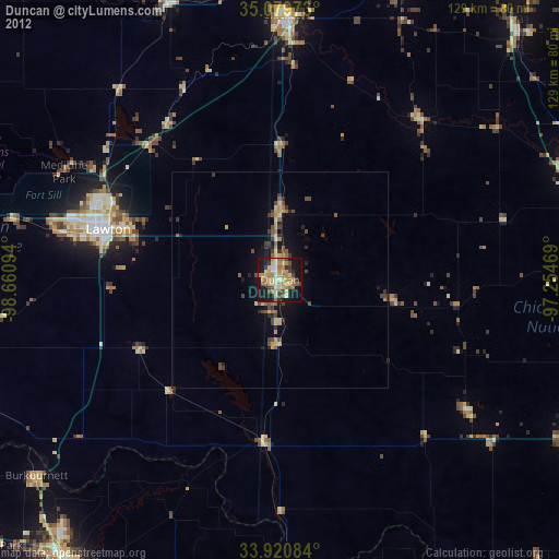
» Earth at Night: Flat Maps 2012, 2016