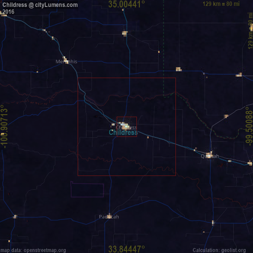
Childress night lights from space
Night Light of Childress (Texas) from space (United States) Src. Average luminocity for 10x10km area is 13.7867% and for 50x50km: 0.6862%.
Analysis of Childress night lights 2016
Square area 10x10 km:
 1.4%
1.4%90-99
1.4%80-89
4.2%70-79
0%60-69
2.45%50-59
1.92%40-49
1.22%30-39
2.62%20-29
0.17%10-19
1.4%0-9
83.22%Square area 50x50 km:
0.07%90-99
0.07%80-89
0.2%70-79
0%60-69
0.13%50-59
0.11%40-49
0.05%30-39
0.11%20-29
0.04%10-19
0.06%0-9
99.19%Clear (daylight) street map image can be seen on geolist.org.
Map coordinates:
35° 0' 15.9" North, 100° 54' 25.7" West
34° 25' 35.2" North, 100° 12' 14.4" West
33° 50' 40.1" North, 99° 30' 3.2" West
Some cities around Childress sort by population:
• Plainview
140.6 km =87.4 mi,  258°
258°
• Altus
83.1 km =51.6 mi,  73°
73°
• Pampa
141.3 km =87.8 mi,  330°
330°
• Elk City
131.6 km =81.8 mi,  33°
33°
• Burkburnett
154.5 km =96 mi,  103°
103°
• Vernon
91.3 km =56.7 mi,  109°
109°
• Clinton
165.4 km =102.8 mi,  42°
42°
• Iowa Park
150.8 km =93.7 mi, 110°
5518758 (p: 6,101)
Sources (retrieved 2019-11-25):
» Earth at Night: Flat Maps 2012, 2016