Altus night lights from space
Night Light of Altus (Oklahoma) from space (United States) Src. Average luminocity for 10x10km area is 34.1416% and for 50x50km: 2.149%.
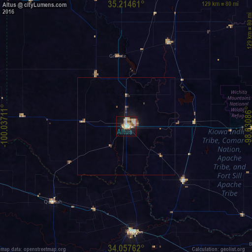
Analysis of Altus night lights 2016
Square area 10x10 km:
 4.02%
4.02%90-99
8.22%80-89
7.34%70-79
2.45%60-69
7.17%50-59
3.67%40-49
0.35%30-39
1.92%20-29
2.62%10-19
30.77%0-9
31.47%Square area 50x50 km:
0.18%90-99
0.34%80-89
0.35%70-79
0.14%60-69
0.44%50-59
0.37%40-49
0.05%30-39
0.32%20-29
0.23%10-19
2.1%0-9
95.48%Clear (daylight) street map image can be seen on geolist.org.
Map coordinates:
35° 12' 52.6" North, 100° 2' 13.6" West
34° 38' 17.3" North, 99° 20' 2.3" West
34° 3' 27.4" North, 98° 37' 51.1" West
Some cities around Altus sort by population:
• Lawton
86.4 km =53.7 mi,  92°
92°
• Elk City
86.3 km =53.6 mi,  355°
355°
• Burkburnett
92.3 km =57.4 mi,  130°
130°
• Vernon
54 km =33.6 mi,  173°
173°
• Clinton
103.1 km =64.1 mi,  18°
18°
• Anadarko
110.6 km =68.7 mi,  64°
64°
• Iowa Park
97.8 km =60.8 mi,  141°
141°
• Childress
83.1 km =51.6 mi,  253°
253°
4529292 (p: 19,214)
Sources (retrieved 2019-11-25):
» Earth at Night: Flat Maps 2012, 2016