Lawton night lights from space
Night Light of Lawton (Oklahoma) from space (United States) Src. Average luminocity for 10x10km area is 66.6014% and for 50x50km: 8.1328%.
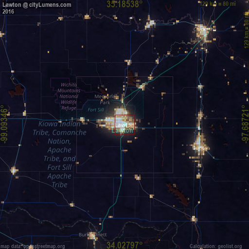

Analysis of Lawton night lights 2016
Square area 10x10 km:
 17.66%
90-99
13.99%80-89
11.71%70-79
5.77%60-69
9.97%50-59
12.24%40-49
5.94%30-39
4.55%20-29
13.46%10-19
4.72%0-9
0%Square area 50x50 km:
1.2%90-99
1.09%80-89
1.28%70-79
0.88%60-69
0.86%50-59
1.34%40-49
1.09%30-39
1.47%20-29
2.46%10-19
4.38%0-9
83.95%Clear (daylight) street map image can be seen on geolist.org.
Map coordinates:
35° 11' 7.4" North, 99° 5' 36.5" West
34° 36' 31.3" North, 98° 23' 25.2" West
34° 1' 40.7" North, 97° 41' 14" West
Some cities around Lawton sort by population:
• Wichita Falls
77.9 km =48.4 mi,  186°
186°
• Duncan
41.3 km =25.7 mi,  106°
106°
• Altus
86.4 km =53.7 mi,  272°
272°
• Chickasha
64.4 km =40 mi,  40°
40°
• Burkburnett
59.2 km =36.8 mi,  196°
196°
• Blanchard
89 km =55.3 mi,  48°
48°
• Anadarko
53.3 km =33.1 mi,  14°
14°
• Iowa Park
77.4 km =48.1 mi, 199°
4540737 (p: 96,655)
Sources (retrieved 2019-11-25):
» NASA, Earths city lights 1995
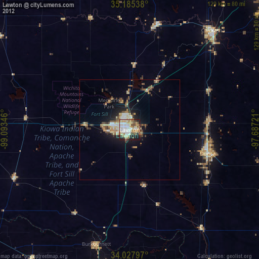
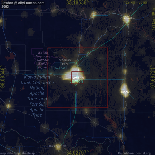
» NASA city lights 2003
» Earth at Night: Flat Maps 2012, 2016