Vernal night lights from space
Night Light of Vernal (Utah) from space (United States) Src. Average luminocity for 10x10km area is 27.1224% and for 50x50km: 1.3969%.
Analysis of Vernal night lights 2016
Square area 10x10 km:
 3.74%
3.74%90-99
4.08%80-89
3.74%70-79
3.23%60-69
5.78%50-59
2.89%40-49
2.72%30-39
2.04%20-29
2.72%10-19
27.21%0-9
41.84%Square area 50x50 km:
0.14%90-99
0.16%80-89
0.19%70-79
0.15%60-69
0.27%50-59
0.16%40-49
0.19%30-39
0.2%20-29
0.17%10-19
1.07%0-9
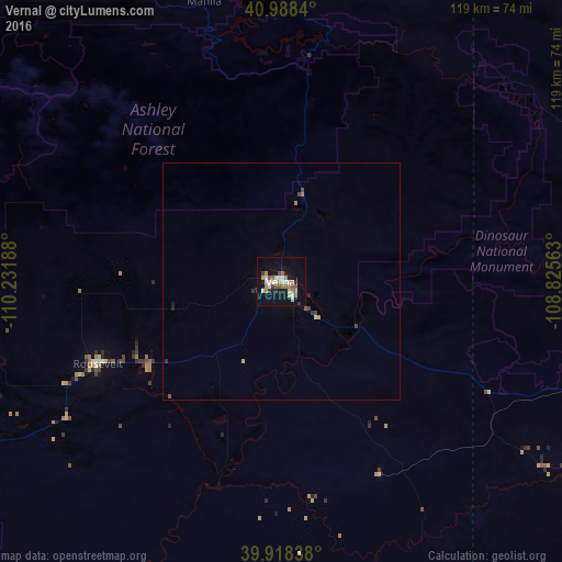
97.3%Clear (daylight) street map image can be seen on geolist.org.
Map coordinates:
40° 59' 18.2" North, 110° 13' 54.8" West
40° 27' 19.9" North, 109° 31' 43.5" West
39° 55' 6.2" North, 108° 49' 32.3" West
Some cities around Vernal sort by population:
• Rock Springs
128.8 km =80 mi,  12°
12°
• Fruita
159.5 km =99.1 mi,  154°
154°
• Green River
119.4 km =74.2 mi,  2°
2°
• Evanston
150.7 km =93.6 mi,  306°
306°
• Heber City
159.5 km =99.1 mi,  272°
272°
• Price
144.8 km =90 mi,  228°
228°
• Park City
167.7 km =104.2 mi,  277°
277°
• Roosevelt
42.7 km =26.5 mi,  245°
245°
5784154 (p: 11,200)
Sources (retrieved 2019-11-25):
» Earth at Night: Flat Maps 2012, 2016