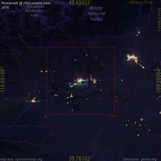
Roosevelt night lights from space
Night Light of Roosevelt (Utah) from space (United States) Src. Average luminocity for 10x10km area is 16.6735% and for 50x50km: 1.4142%.
Analysis of Roosevelt night lights 2016
Square area 10x10 km:
 1.53%
1.53%90-99
1.87%80-89
1.53%70-79
2.04%60-69
4.42%50-59
2.04%40-49
1.7%30-39
3.06%20-29
3.23%10-19
3.23%0-9
75.34%Square area 50x50 km:
0.06%90-99
0.07%80-89
0.13%70-79
0.25%60-69
0.38%50-59
0.14%40-49
0.22%30-39
0.41%20-29
0.36%10-19
0.24%0-9
97.73%Clear (daylight) street map image can be seen on geolist.org.
Map coordinates:
40° 50' 0.7" North, 110° 41' 30.8" West
40° 17' 57.8" North, 109° 59' 19.5" West
39° 45' 39.7" North, 109° 17' 8.3" West
Some cities around Roosevelt sort by population:
• Springville
138.5 km =86.1 mi,  263°
263°
• Evanston
135.4 km =84.1 mi,  322°
322°
• Vernal
42.7 km =26.5 mi,  65°
65°
• Mapleton
136.3 km =84.7 mi, 262°
• Heber City
122.8 km =76.3 mi,  280°
280°
• Price
104.7 km =65.1 mi,  221°
221°
• Park City
133.3 km =82.8 mi,  286°
286°
• Snyderville
138.6 km =86.1 mi, 288°
5780699 (p: 6,980)
Sources (retrieved 2019-11-25):
» Earth at Night: Flat Maps 2012, 2016