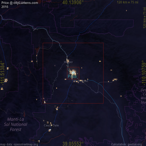
Price night lights from space
Night Light of Price (Utah) from space (United States) Src. Average luminocity for 10x10km area is 21.1136% and for 50x50km: 1.4698%.
Analysis of Price night lights 2016
Square area 10x10 km:
 2.27%
2.27%90-99
2.92%80-89
1.14%70-79
2.27%60-69
6.82%50-59
1.46%40-49
1.3%30-39
3.41%20-29
4.22%10-19
18.34%0-9
55.84%Square area 50x50 km:
0.11%90-99
0.13%80-89
0.1%70-79
0.15%60-69
0.44%50-59
0.23%40-49
0.2%30-39
0.26%20-29
0.36%10-19
0.79%0-9
97.24%Clear (daylight) street map image can be seen on geolist.org.
Map coordinates:
40° 8' 20.6" North, 111° 30' 49.8" West
39° 35' 57.9" North, 110° 48' 38.6" West
39° 3' 19.9" North, 110° 6' 27.3" West
Some cities around Price sort by population:
• Spanish Fork
92.1 km =57.2 mi,  308°
308°
• Springville
92.8 km =57.7 mi, 312°
• Payson
93 km =57.8 mi,  302°
302°
• Santaquin
93.2 km =57.9 mi, 296°
• Mapleton
88.2 km =54.8 mi, 312°
• Salem
89.3 km =55.5 mi, 304°
• Ephraim
71.7 km =44.6 mi,  248°
248°
• Nephi
88.7 km =55.1 mi,  277°
277°
5545269 (p: 8,378)
Sources (retrieved 2019-11-25):
» Earth at Night: Flat Maps 2012, 2016