Evanston night lights from space
Night Light of Evanston (Wyoming) from space (United States) Src. Average luminocity for 10x10km area is 25.8977% and for 50x50km: 1.2995%.
Analysis of Evanston night lights 2016
Square area 10x10 km:
 2.6%
2.6%90-99
3.57%80-89
5.52%70-79
6.33%60-69
2.27%50-59
1.79%40-49
1.14%30-39
2.76%20-29
2.44%10-19
26.46%0-9
45.13%Square area 50x50 km:
0.1%90-99
0.14%80-89
0.27%70-79
0.3%60-69
0.14%50-59
0.09%40-49
0.05%30-39
0.16%20-29
0.15%10-19
1.09%0-9
97.49%Clear (daylight) street map image can be seen on geolist.org.
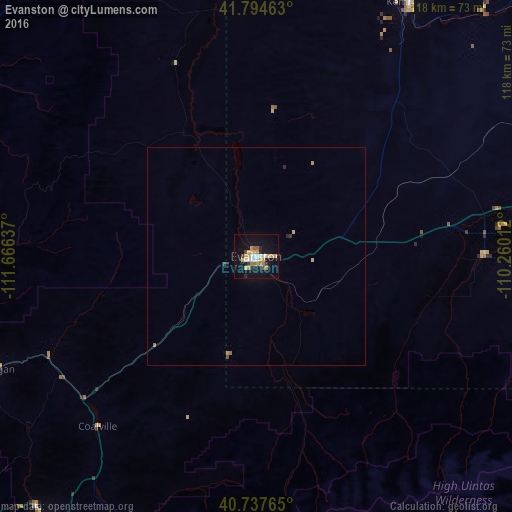
Map coordinates:
41° 47' 40.7" North, 111° 39' 58.9" West
41° 16' 5.8" North, 110° 57' 47.7" West
40° 44' 15.5" North, 110° 15' 36.4" West
Some cities around Evanston sort by population:
• Farmington
83.8 km =52.1 mi,  247°
247°
• North Ogden
83.4 km =51.8 mi,  272°
272°
• Park City
82.5 km =51.3 mi,  212°
212°
• Hyrum
84.5 km =52.5 mi,  298°
298°
• Summit Park
79.6 km =49.5 mi,  223°
223°
• South Weber
82.3 km =51.1 mi,  259°
259°
• Fruit Heights
82.9 km =51.5 mi, 251°
• Snyderville
80.3 km =49.9 mi, 217°
5824805 (p: 12,133)
Sources (retrieved 2019-11-25):
» Earth at Night: Flat Maps 2012, 2016