Boise night lights from space
Night Light of Boise (Idaho) from space (United States) Src. Average luminocity for 10x10km area is 74.4909% and for 50x50km: 16.9051%.
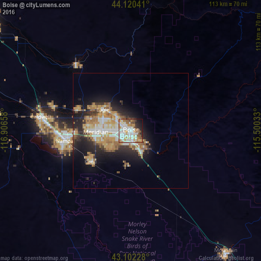
Analysis of Boise night lights 2016
Square area 10x10 km:
 22.73%
90-99
24.7%80-89
6.82%70-79
9.7%60-69
6.82%50-59
9.7%40-49
3.64%30-39
3.18%20-29
6.06%10-19
5.76%0-9
0.91%Square area 50x50 km:
2.87%90-99
3.2%80-89
2.1%70-79
3.27%60-69
2.6%50-59
2.19%40-49
1.14%30-39
1.99%20-29
4.38%10-19
7.8%0-9
68.46%Clear (daylight) street map image can be seen on geolist.org.
Map coordinates:
44° 7' 13.5" North, 116° 54' 23.7" West
43° 36' 48.6" North, 116° 12' 12.4" West
43° 6' 8.2" North, 115° 30' 1.2" West
Some cities around Boise sort by population:
• Meridian
15.1 km =9.4 mi,  269°
269°
• Nampa
30.1 km =18.7 mi,  254°
254°
• Eagle
15.2 km =9.4 mi,  306°
306°
• Kuna
22.1 km =13.7 mi,  232°
232°
• Garden City
3 km =1.9 mi,  288°
288°
• Star
24.9 km =15.5 mi, 290°
• Middleton
35.1 km =21.8 mi, 287°
• Emmett
37.4 km =23.2 mi,  320°
320°
5586437 (p: 145,987)
Sources (retrieved 2019-11-25):
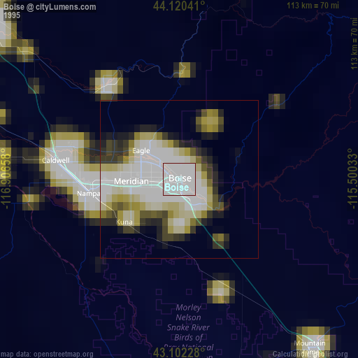
» NASA, Earths city lights 1995
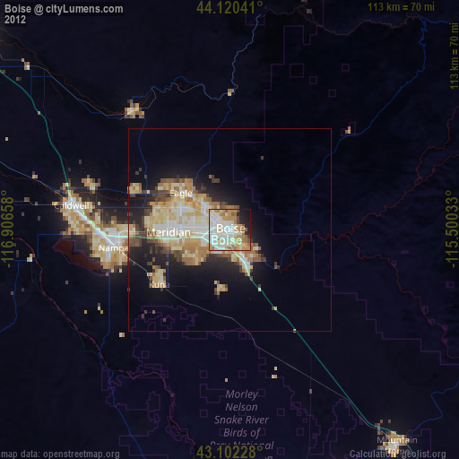
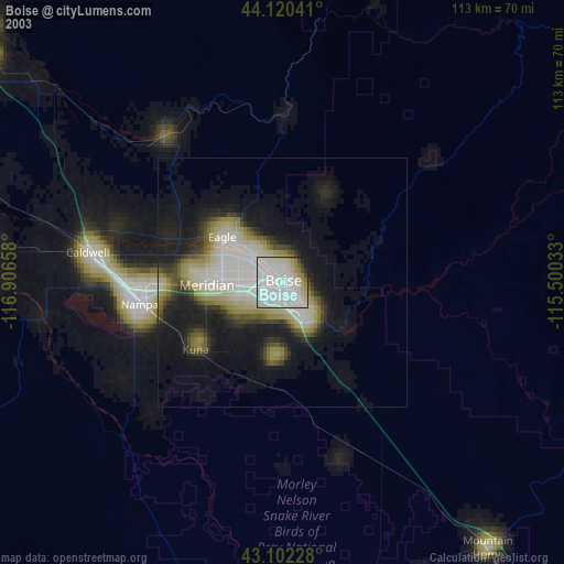
» NASA city lights 2003
» Earth at Night: Flat Maps 2012, 2016