Tustin night lights from space
Night Light of Tustin (California) from space (United States) Src. Average luminocity for 10x10km area is 92.6813% and for 50x50km: 62.9573%.
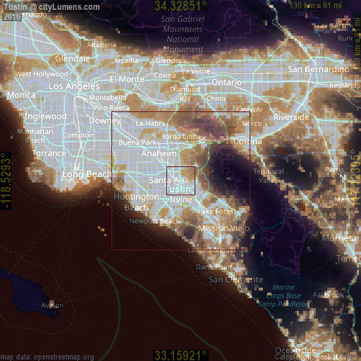
Analysis of Tustin night lights 2016
Square area 10x10 km:
 47.62%
90-99
27.47%80-89
6.23%70-79
10.62%60-69
7.69%50-59
0.37%40-49
0%30-39
0%20-29
0%10-19
0%0-9
0%Square area 50x50 km:
20.95%90-99
16.03%80-89
5.36%70-79
7.49%60-69
10.25%50-59
6.48%40-49
6.28%30-39
3.5%20-29
4.21%10-19
5.93%0-9
13.51%Clear (daylight) street map image can be seen on geolist.org.
Map coordinates:
34° 19' 42.6" North, 118° 31' 45.5" West
33° 44' 45.1" North, 117° 49' 34.2" West
33° 9' 33.2" North, 117° 7' 23" West
Some cities around Tustin sort by population:
• Anaheim
12.9 km =8 mi,  320°
320°
• Santa Ana
3.9 km =2.4 mi,  269°
269°
• Irvine
8.5 km =5.3 mi,  178°
178°
• Garden Grove
11.1 km =6.9 mi,  286°
286°
• Orange
5.3 km =3.3 mi,  331°
331°
• Fountain Valley
12.5 km =7.8 mi,  250°
250°
• North Tustin
3.6 km =2.2 mi,  55°
55°
• Villa Park
7.7 km =4.8 mi,  8°
8°
5404119 (p: 80,583)
Sources (retrieved 2019-11-25):
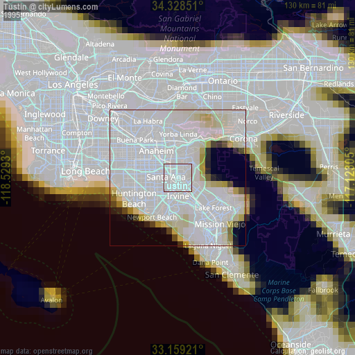
» NASA, Earths city lights 1995
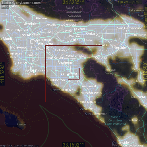
» NASA city lights 2003
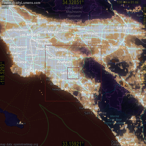
» Earth at Night: Flat Maps 2012, 2016