Anaheim night lights from space
Night Light of Anaheim (California) from space (United States) Src. Average luminocity for 10x10km area is 99.0052% and for 50x50km: 77.1993%.
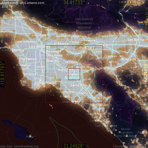
Analysis of Anaheim night lights 2016
Square area 10x10 km:
 63.29%
90-99
35.31%80-89
1.4%70-79
0%60-69
0%50-59
0%40-49
0%30-39
0%20-29
0%10-19
0%0-9
0%Square area 50x50 km:
31.05%90-99
22.35%80-89
7.24%70-79
8.96%60-69
8%50-59
4.62%40-49
4.02%30-39
2.65%20-29
2.61%10-19
2.92%0-9
5.58%Clear (daylight) street map image can be seen on geolist.org.
Map coordinates:
34° 25' 2.4" North, 118° 37' 3.5" West
33° 50' 7" North, 117° 54' 52.2" West
33° 14' 57.3" North, 117° 12' 41" West
Some cities around Anaheim sort by population:
• Garden Grove
7.3 km =4.5 mi,  200°
200°
• Orange
7.7 km =4.8 mi,  132°
132°
• Fullerton
4 km =2.5 mi,  345°
345°
• Buena Park
8.5 km =5.3 mi,  294°
294°
• Placentia
5.8 km =3.6 mi,  44°
44°
• Brea
9.1 km =5.7 mi,  8°
8°
• Stanton
8.1 km =5 mi,  243°
243°
• Villa Park
9.6 km =6 mi,  103°
103°
5323810 (p: 350,742)
Sources (retrieved 2019-11-25):
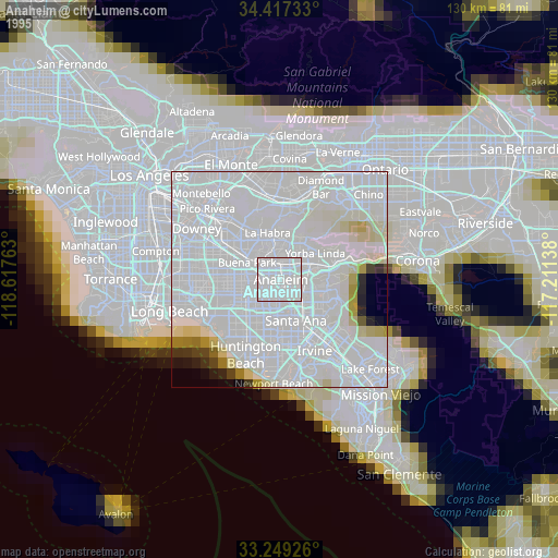
» NASA, Earths city lights 1995
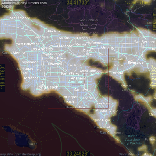
» NASA city lights 2003
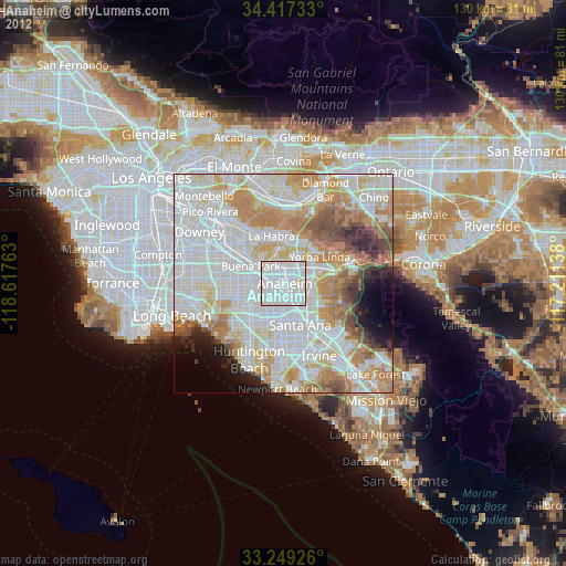
» Earth at Night: Flat Maps 2012, 2016