Irvine night lights from space
Night Light of Irvine (California) from space (United States) Src. Average luminocity for 10x10km area is 91.6941% and for 50x50km: 53.9849%.
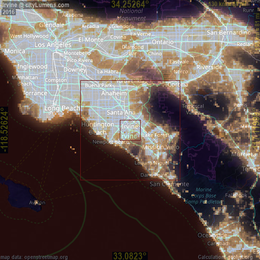
Analysis of Irvine night lights 2016
Square area 10x10 km:
 42.67%
90-99
25.09%80-89
14.84%70-79
8.06%60-69
8.06%50-59
1.28%40-49
0%30-39
0%20-29
0%10-19
0%0-9
0%Square area 50x50 km:
17.97%90-99
13.67%80-89
4.97%70-79
5.78%60-69
8.06%50-59
5.88%40-49
4.8%30-39
3.13%20-29
4.77%10-19
7.6%0-9
23.38%Clear (daylight) street map image can be seen on geolist.org.
Map coordinates:
34° 15' 9.5" North, 118° 31' 34.5" West
33° 40' 10.1" North, 117° 49' 23.2" West
33° 4' 56.3" North, 117° 7' 12" West
Some cities around Irvine sort by population:
• Santa Ana
9.4 km =5.8 mi,  333°
333°
• Costa Mesa
9.4 km =5.8 mi,  250°
250°
• Newport Beach
11.3 km =7 mi,  240°
240°
• Lake Forest
12.6 km =7.8 mi,  101°
101°
• Tustin
8.5 km =5.3 mi,  358°
358°
• Laguna Hills
12 km =7.5 mi,  121°
121°
• North Tustin
10.9 km =6.8 mi,  14°
14°
• Laguna Woods
11.2 km =7 mi,  126°
126°
5359777 (p: 256,927)
Sources (retrieved 2019-11-25):
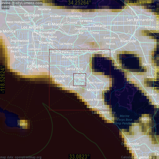
» NASA, Earths city lights 1995
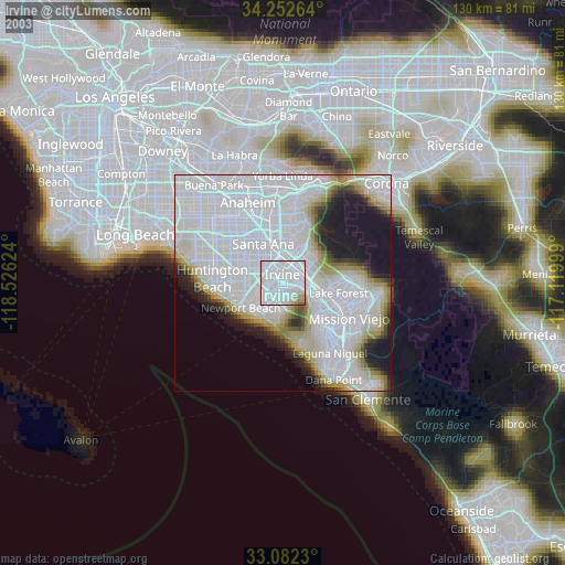
» NASA city lights 2003
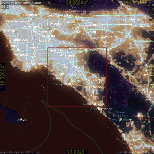
» Earth at Night: Flat Maps 2012, 2016