North Tustin night lights from space
Night Light of North Tustin (California) from space (United States) Src. Average luminocity for 10x10km area is 81.7179% and for 50x50km: 63.7521%.
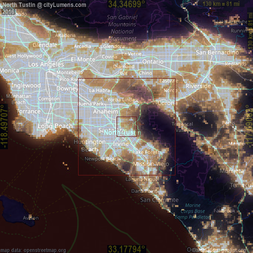
Analysis of North Tustin night lights 2016
Square area 10x10 km:
 23.81%
90-99
21.98%80-89
10.81%70-79
12.64%60-69
17.03%50-59
11.36%40-49
2.38%30-39
0%20-29
0%10-19
0%0-9
0%Square area 50x50 km:
20.2%90-99
16.01%80-89
5.57%70-79
8.88%60-69
10.91%50-59
6.47%40-49
6.05%30-39
3.47%20-29
4.12%10-19
6.1%0-9
12.22%Clear (daylight) street map image can be seen on geolist.org.
Map coordinates:
34° 20' 49.2" North, 118° 29' 49.5" West
33° 45' 52.1" North, 117° 47' 38.2" West
33° 10' 40.6" North, 117° 5' 27" West
Some cities around North Tustin sort by population:
• Anaheim
13.6 km =8.5 mi,  305°
305°
• Santa Ana
7.1 km =4.4 mi,  252°
252°
• Irvine
10.9 km =6.8 mi,  194°
194°
• Garden Grove
13.7 km =8.5 mi,  274°
274°
• Orange
6.1 km =3.8 mi,  295°
295°
• Tustin
3.6 km =2.2 mi,  235°
235°
• Placentia
13.9 km =8.6 mi,  329°
329°
• Villa Park
5.8 km =3.6 mi,  342°
342°
5404122 (p: 24,917)
Sources (retrieved 2019-11-25):
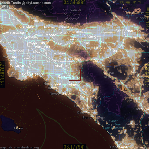
» Earth at Night: Flat Maps 2012, 2016