Trophy Club night lights from space
Night Light of Trophy Club (Texas) from space (United States) Src. Average luminocity for 10x10km area is 66.8352% and for 50x50km: 66.0884%.
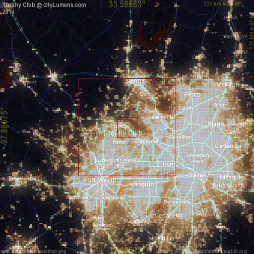
Analysis of Trophy Club night lights 2016
Square area 10x10 km:
 8.97%
8.97%90-99
9.16%80-89
11.36%70-79
11.72%60-69
26.01%50-59
8.42%40-49
9.16%30-39
15.2%20-29
0%10-19
0%0-9
0%Square area 50x50 km:
17.82%90-99
17.8%80-89
10.56%70-79
9.36%60-69
8.16%50-59
7.3%40-49
5.2%30-39
4.61%20-29
4.6%10-19
3.84%0-9
10.75%Clear (daylight) street map image can be seen on geolist.org.
Map coordinates:
33° 35' 8.3" North, 97° 53' 12.3" West
32° 59' 52.4" North, 97° 11' 1" West
32° 24' 22.4" North, 96° 28' 49.8" West
Some cities around Trophy Club sort by population:
• Flower Mound
8.3 km =5.2 mi,  77°
77°
• Grapevine
12.1 km =7.5 mi,  125°
125°
• Keller
9.5 km =5.9 mi,  222°
222°
• Coppell
16.4 km =10.2 mi,  107°
107°
• Southlake
7.8 km =4.8 mi,  143°
143°
• Colleyville
13.3 km =8.3 mi,  168°
168°
• Roanoke
4 km =2.5 mi,  279°
279°
• Lantana
11.7 km =7.3 mi,  28°
28°
4737676 (p: 11,759)
Sources (retrieved 2019-11-25):
» Earth at Night: Flat Maps 2012, 2016