Keller night lights from space
Night Light of Keller (Texas) from space (United States) Src. Average luminocity for 10x10km area is 90.4615% and for 50x50km: 69.1503%.
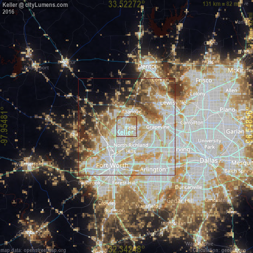
Analysis of Keller night lights 2016
Square area 10x10 km:
 27.84%
90-99
34.43%80-89
17.95%70-79
11.9%60-69
7.88%50-59
0%40-49
0%30-39
0%20-29
0%10-19
0%0-9
0%Square area 50x50 km:
19.73%90-99
18.88%80-89
11.75%70-79
9.48%60-69
7.54%50-59
6.34%40-49
4.89%30-39
4.33%20-29
5.05%10-19
4.4%0-9
7.6%Clear (daylight) street map image can be seen on geolist.org.
Map coordinates:
33° 31' 21.8" North, 97° 57' 17.3" West
32° 56' 4.5" North, 97° 15' 6" West
32° 20' 32.9" North, 96° 32' 54.8" West
Some cities around Keller sort by population:
• North Richland Hills
11.4 km =7.1 mi,  169°
169°
• Southlake
11 km =6.8 mi,  86°
86°
• Colleyville
10.8 km =6.7 mi,  123°
123°
• Watauga
8.5 km =5.3 mi,  181°
181°
• Saginaw
13.4 km =8.3 mi,  231°
231°
• Trophy Club
9.5 km =5.9 mi,  42°
42°
• Richland Hills
13.4 km =8.3 mi, 170°
• Roanoke
8.1 km =5 mi,  17°
17°
4702828 (p: 45,758)
Sources (retrieved 2019-11-25):
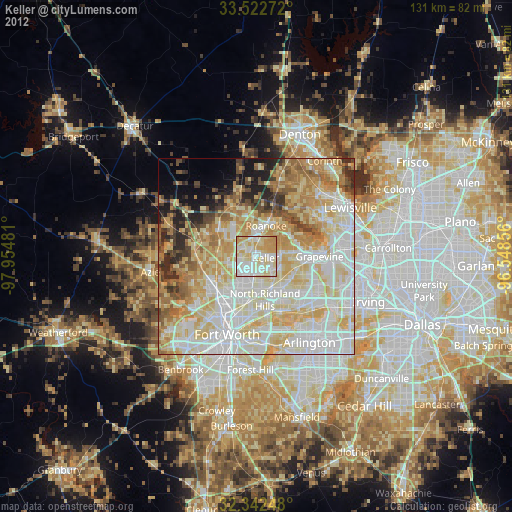
» Earth at Night: Flat Maps 2012, 2016