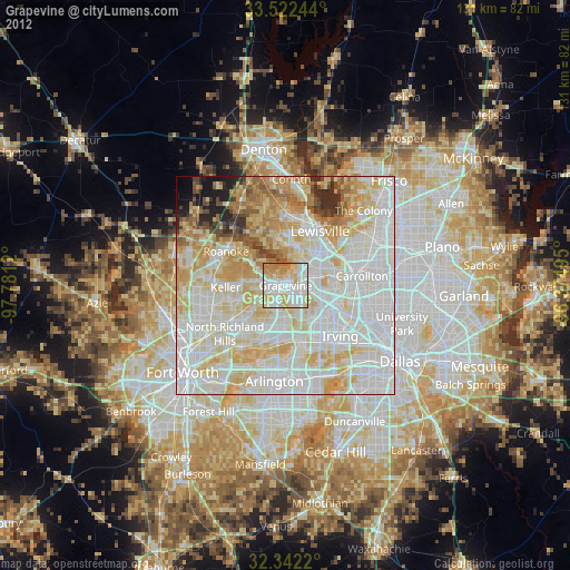
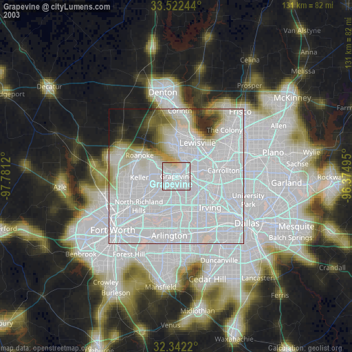
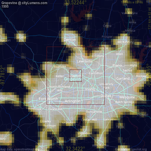
Grapevine night lights from space
Night Light of Grapevine (Texas) from space (United States) Src. Average luminocity for 10x10km area is 90.1648% and for 50x50km: 82.8483%.
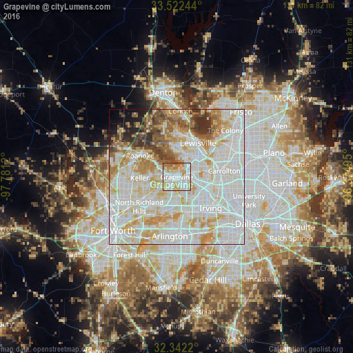
Analysis of Grapevine night lights 2016
Square area 10x10 km:
 32.42%
90-99
29.85%80-89
17.03%70-79
10.44%60-69
8.97%50-59
1.1%40-49
0.18%30-39
0%20-29
0%10-19
0%0-9
0%Square area 50x50 km:
30.94%90-99
25.97%80-89
11.53%70-79
9.59%60-69
6.28%50-59
4.38%40-49
3.1%30-39
3.04%20-29
2.27%10-19
1.7%0-9
1.2%Clear (daylight) street map image can be seen on geolist.org.
Map coordinates:
33° 31' 20.8" North, 97° 46' 52.3" West
32° 56' 3.4" North, 97° 4' 41.1" West
32° 20' 31.9" North, 96° 22' 29.8" West
Some cities around Grapevine sort by population:
• Lewisville
14.7 km =9.1 mi,  32°
32°
• Flower Mound
9.1 km =5.7 mi,  348°
348°
• Euless
10.8 km =6.7 mi,  181°
181°
• Bedford
11.7 km =7.3 mi,  211°
211°
• Coppell
6.3 km =3.9 mi,  69°
69°
• Southlake
5.3 km =3.3 mi,  278°
278°
• Colleyville
9.3 km =5.8 mi,  230°
230°
• Trophy Club
12.1 km =7.5 mi,  305°
305°
4694568 (p: 51,404)
Sources (retrieved 2019-11-25):
» NASA, Earths city lights 1995
» NASA city lights 2003
» Earth at Night: Flat Maps 2012, 2016