Coppell night lights from space
Night Light of Coppell (Texas) from space (United States) Src. Average luminocity for 10x10km area is 94.5275% and for 50x50km: 84.3974%.
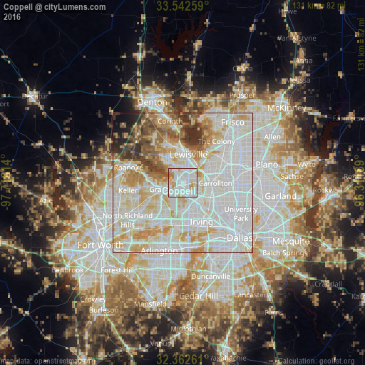
Analysis of Coppell night lights 2016
Square area 10x10 km:
 42.31%
90-99
37.73%80-89
8.79%70-79
6.78%60-69
4.4%50-59
0%40-49
0%30-39
0%20-29
0%10-19
0%0-9
0%Square area 50x50 km:
33.94%90-99
26%80-89
10.89%70-79
8.87%60-69
5.8%50-59
4.37%40-49
2.98%30-39
3.07%20-29
2.24%10-19
1.34%0-9
0.49%Clear (daylight) street map image can be seen on geolist.org.
Map coordinates:
33° 32' 33.3" North, 97° 43' 5.3" West
32° 57' 16.5" North, 97° 0' 54" West
32° 21' 45.4" North, 96° 18' 42.8" West
Some cities around Coppell sort by population:
• Carrollton
11.6 km =7.2 mi,  90°
90°
• Lewisville
10.4 km =6.5 mi,  10°
10°
• Flower Mound
10.1 km =6.3 mi,  311°
311°
• Euless
14.5 km =9 mi,  205°
205°
• Grapevine
6.3 km =3.9 mi,  249°
249°
• Farmers Branch
11.5 km =7.1 mi,  105°
105°
• Southlake
11.2 km =7 mi,  262°
262°
• Colleyville
15.4 km =9.6 mi,  237°
237°
4683217 (p: 41,159)
Sources (retrieved 2019-11-25):
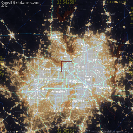
» Earth at Night: Flat Maps 2012, 2016