Trinidad night lights from space
Night Light of Trinidad (Colorado) from space (United States) Src. Average luminocity for 10x10km area is 20.6548% and for 50x50km: 1.0928%.
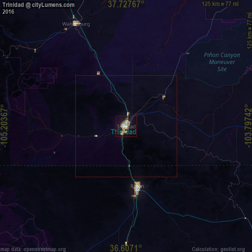
Analysis of Trinidad night lights 2016
Square area 10x10 km:
 1.87%
1.87%90-99
1.53%80-89
1.7%70-79
4.25%60-69
5.95%50-59
3.4%40-49
1.02%30-39
3.23%20-29
1.87%10-19
16.5%0-9
58.67%Square area 50x50 km:
0.09%90-99
0.08%80-89
0.11%70-79
0.19%60-69
0.3%50-59
0.16%40-49
0.04%30-39
0.19%20-29
0.14%10-19
0.69%0-9
98.01%Clear (daylight) street map image can be seen on geolist.org.
Map coordinates:
37° 43' 39.6" North, 105° 12' 13.2" West
37° 10' 10.1" North, 104° 30' 1.9" West
36° 36' 25.6" North, 103° 47' 50.7" West
Some cities around Trinidad sort by population:
• Pueblo
121 km =75.2 mi,  355°
355°
• Pueblo West
132.7 km =82.5 mi,  351°
351°
• Fountain
169.1 km =105.1 mi, 354°
• Cañon City
155.7 km =96.7 mi,  335°
335°
• Alamosa
125.6 km =78 mi,  285°
285°
• La Junta
123.8 km =76.9 mi,  42°
42°
• Raton
30.1 km =18.7 mi,  169°
169°
• Taos
127.7 km =79.3 mi,  228°
228°
5442007 (p: 8,153)
Sources (retrieved 2019-11-25):
» Earth at Night: Flat Maps 2012, 2016